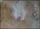

This image from June 9, 2011, shows Arizona’s Wallow Fire in the White Mountains near the border with New Mexico.
Published Jun 10, 2011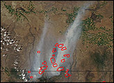
The eastern part of the fire was active overnight, expanding the burned area to 76,000 acres.
Published Oct 30, 2019
A wildfire in Fresno County, California has burned more than 28,000 acres.
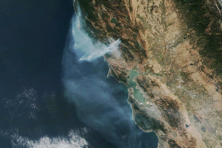
Published Jul 20, 2020
Temperature, humidity, and winds contributed to the rapid spread of fire in Lake County, about 100 miles northwest of Sacramento.
Published Jun 27, 2018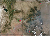
As of October 1, the Twitchell Canyon Fire continued to burn and had consumed 44,446 acres in the Fishlake National Forest.
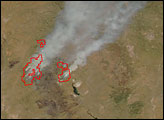
Published Oct 1, 2010
The blaze is the largest in Arizona this year and the largest in the United States right now.
Published Jun 16, 2020Image of the Day Heat Land Fires Human Presence Remote Sensing
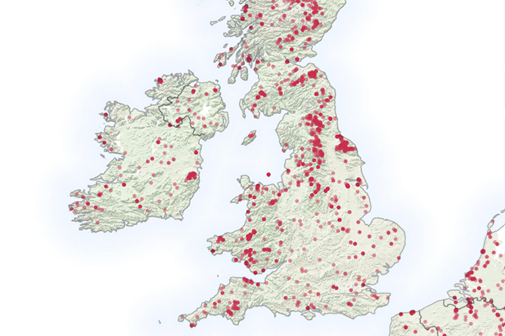
It is not even summertime, but already the United Kingdom has seen a significant number of wildfires.
Published May 6, 2019
The fast-moving King fire burned in Eldorado National Forest in September 2014.
Published Sep 18, 2014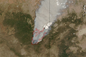
Dense smoke billows from a massive wildfire—the Wallow Fire—in eastern Arizona in this photo-like image from June 4, 2011.
Published Jun 6, 2011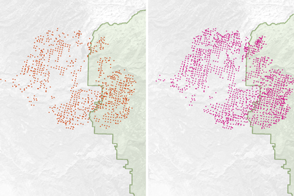
Scientists have found a way to detect nighttime fires even sooner, when they are still relatively small.
Published Apr 7, 2017