
Temperature, humidity, and winds contributed to the rapid spread of fire in Lake County, about 100 miles northwest of Sacramento.
Published Jun 27, 2018
An expansive, destructive wildfire north of Los Angeles is visible from space by day and night.
Published Jun 28, 2016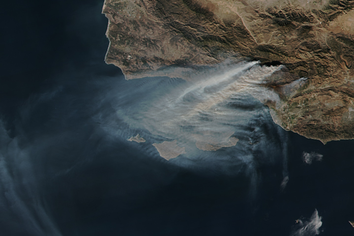
The Thomas fire is now the fourth largest wildfire on record in California.
Published Dec 15, 2017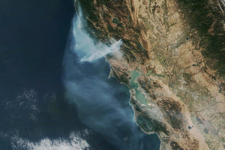
The eastern part of the fire was active overnight, expanding the burned area to 76,000 acres.
Published Oct 30, 2019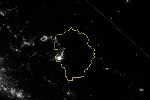
The VIIRS instrument on the Suomi NPP satellite tracked the growth of the fire between August 20 and September 4.
Published Sep 8, 2013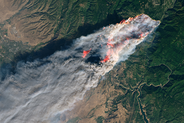
Multiple fast-moving fires are producing huge plumes of smoke and threatening several communities.
Published Nov 9, 2018
The Thomas fire has set new records while ravaging several communities.
Published Dec 24, 2017
A wildfire in Fresno County, California has burned more than 28,000 acres.
Published Jul 20, 2020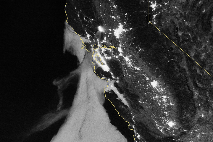
As smoke streamed toward San Francisco, more than 1,000 fire personnel were at the scene fighting the blaze.
Published Jul 4, 2018Image of the Day Atmosphere Land Fires Human Presence Remote Sensing
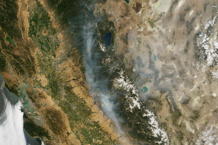
Wildfire struck rugged woodlands near Yosemite, causing sporadic evacuations of nearby towns and spreading smoke as far as Idaho.
Published Jul 22, 2017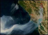

The fast-moving King fire burned in Eldorado National Forest in September 2014.
Published Sep 18, 2014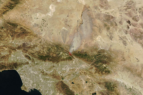
Dry, windy weather intensified the blaze near San Bernardino.
Published Aug 17, 2016