Being able to see traces of human history in satellite imagery is dependent on what details can be resolved on a given image. There are four main types of image resolution.
Published Oct 4, 2017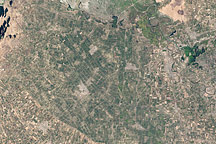
Acquired September 20 and November 23, 2002, these natural-color images show agricultural fields in Jizzax Province at the end of summer and in late fall.
Published Apr 24, 2011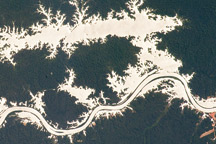
In this astronaut photo, the mirror-like reflection of sunlight off water makes the Trombetas River and Lake Erepecu in the Brazilian Amazon stand out from the deep green forest.
Published Sep 21, 2009
As they prepare for a satellite that will measure the height and areal extent of rivers in unprecedented detail, hydrologists have released a better map of North American river widths.
Published Jul 9, 2015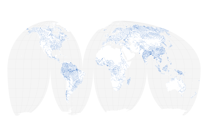
A new map of the world’s rivers and their widths shows that surface waterways are collectively wider and cover more area than previously thought.
Published Jul 18, 2018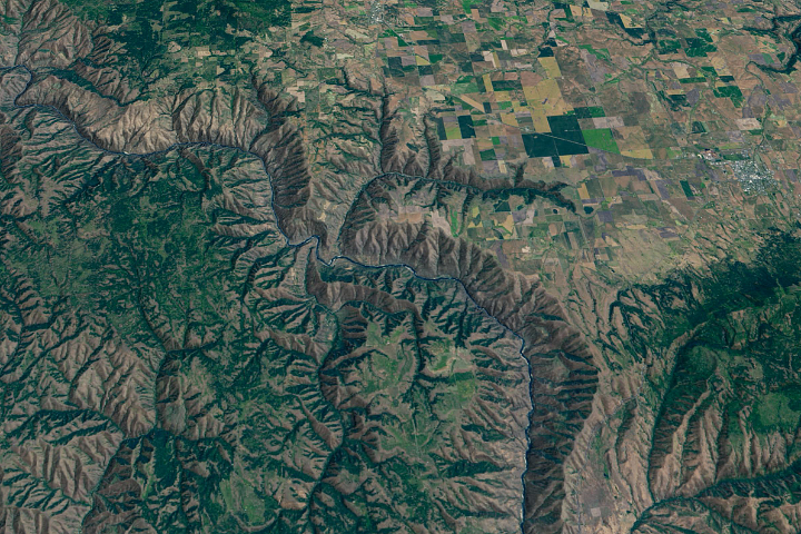
The Salmon River in Idaho, one of the longest free-flowing rivers in the United States, rushes through a geologic wonderland of wooded ridges, eroded bluffs, and stone towers and crags.
Published Jul 22, 2020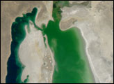

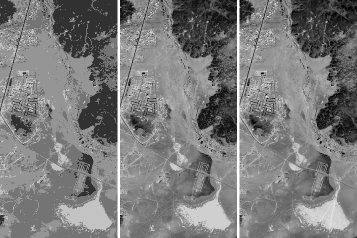
Acquired May 1, 2011, this natural-color image shows the James River completely filling the river valley near Jamesville, South Dakota.
Published May 3, 2011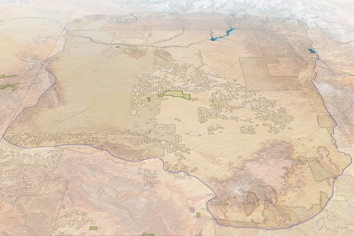
Risk maps can help land managers make more informed decisions about modern development in the vicinity of an ancient civilization.
Published Jun 1, 2018
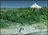
An ancient collision between continents left a series of fractures in the bedrock around Virginia’s Massanutten Mountains. The event spawned some unusual zig-zagging stretches on the Shenandoah River.
Published Dec 5, 2014