
An unusual amount of smoke from wildfires has spread across hundreds of miles.
Published Aug 20, 2020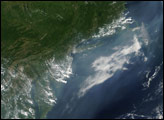
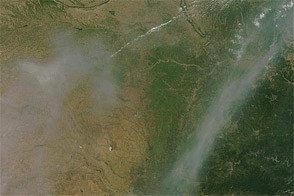
Smoke from fires in southwestern Oregon drifted over much of Oregon in this true color image from late September 2009. The associated aerosol image reveals that the smoke reached as far east as eastern Montana and central Canada, illustrating that pollution travels long distances.
Published Oct 21, 2009
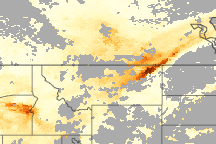
Acquired June 8, 2011, this natural-color image shows smoke from Arizona wildfires over the U.S. Midwest.
Published Jun 9, 2011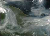
Thick smoke choked the skies over Manitoba, Ontario, and Hudson Bay on Tuesday, July 24, 2007. Thick swaths of smoke hundreds of kilometers across stretch eastward over Canada’s land and water. The smoke can be distinguished from the nearby clouds by the difference in color. Whereas clouds are bright white, the smoke is dingy gray.
Published Jul 27, 2007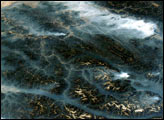
This image taken by the crew of the International Space Station on August 20, 2003, illustrates how smoke has become trapped in valleys. Normally air temperature decreases with altitude; in other words, the higher up you are, the colder it is. Warmer, more buoyant air near the surface of the Earth usually rises into the atmosphere, carrying away air pollutants such as smoke. However, sometimes the “higher equals colder” relationship breaks down, for example, here in the northern Rockies, where light winds and cold air drainage from the higher elevations have created “temperature inversions,” making the air in the valley colder and denser than the air at the mountain peaks.
Published Sep 24, 2003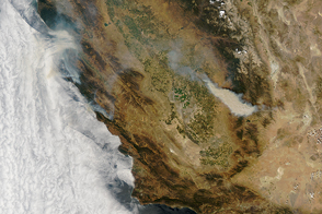
Researchers believe recent fire seasons give a taste of the more active wildfires of the future. Such fires are likely to increase air pollution, even as emissions from industry and motor vehicles have fallen in recent decades.
Published Aug 23, 2016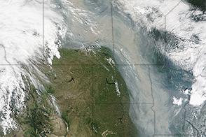
Smoke from fires in Canada streamed into the United States.
Published Jul 1, 2015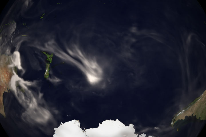
As fires continue to rage in southern and eastern Australia, the smoke has risen high and far across the atmosphere.
Published Nov 20, 2019Image of the Day Atmosphere Heat Land Drought Fires Remote Sensing
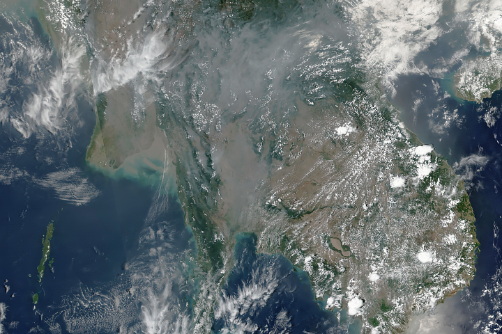
Wildfires and agricultural burning have produced thick haze for the past month.
Published Apr 12, 2019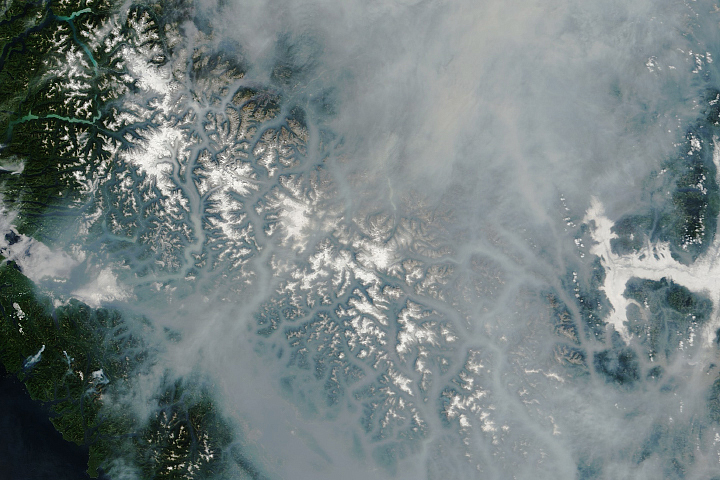
Hundreds of fires are burning in the Canadian province.
Published Aug 14, 2018
Gray-brown smoke drifts north over the Canadian Arctic and the Beaufort Sea in this true-color image from June 28, 2010.
Published Jun 30, 2010