A multi-year drought, a growing population, and management choices have put the city’s water supply in a precarious position.
Published Jan 29, 2018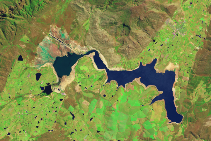
Reservoirs in the South African province are low after three years of unusually dry weather.
Published Nov 7, 2017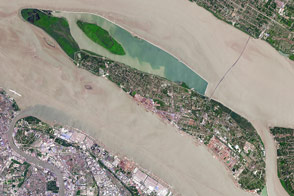
The fast-growing city has polluted waterways and a growing demand for clean tap water.
Published Apr 11, 2017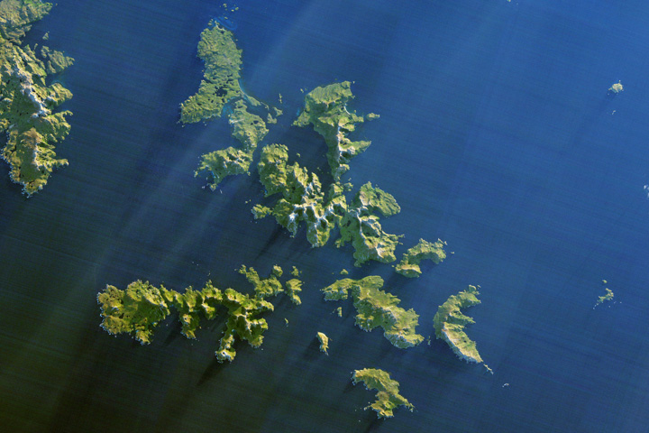
Ferocious winds and huge waves have long made it perilous to navigate around the southernmost tip of South America.
Published Dec 24, 2017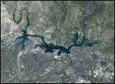

Natural vegetation and irrigated farmland along the Snake River Plain in Idaho use dramatically different amounts of water during the growing season.
Published Jan 26, 2010
For more than 100 years, groups in the western United States have fought over water. During the 1880s, sheep ranchers and cattle ranchers argued over drinking water for their livestock on the high plains. In 1913, the city of Los Angeles began to draw water away from small agricultural communities in Owen Valley, leaving a dusty dry lake bed. In the late 1950s, construction of the Glen Canyon Dam catalyzed the American environmental movement. Today, farmers are fighting fishermen, environmentalists, and Native American tribes over the water in the Upper Klamath River Basin. The Landsat 7 satellite, launched by NASA and operated by the U.S. Geological Survey, documented an extreme drought in the area along the California/Oregon border in the spring of 2001.
Published Sep 8, 2001
A new study found that the abundance of these floating plants has increased due to urbanization.
Published Sep 2, 2020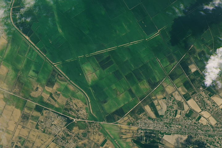
Water has stopped pouring from the broken wall of the Sardoba Reservoir, but many areas are still submerged.
Published May 11, 2020
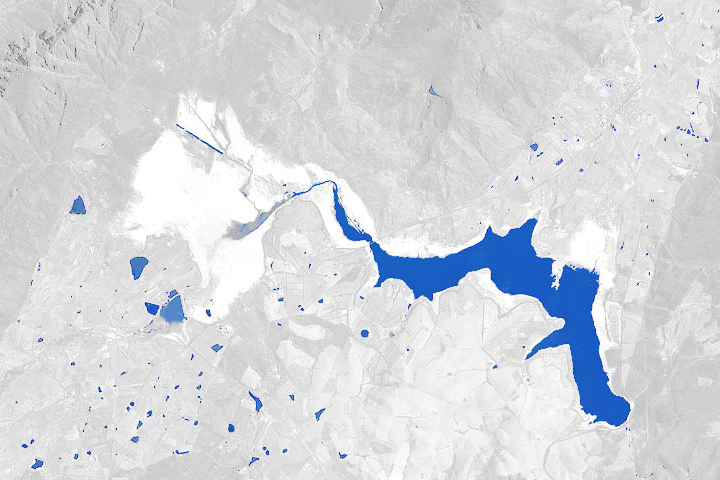
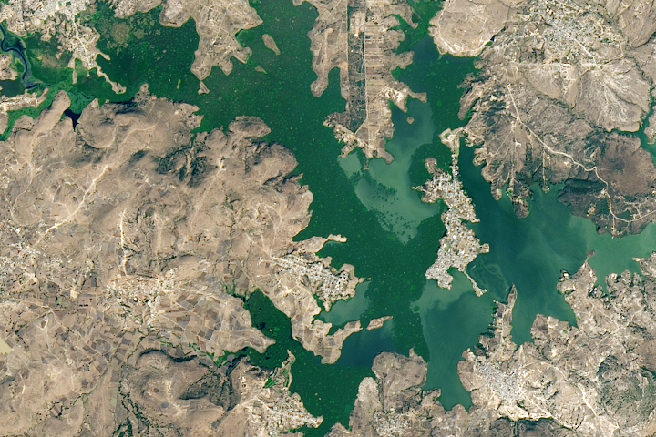
An arid region grew even drier between 2003 and 2009 due to human consumption of water for drinking and agriculture.
Published Mar 13, 2013