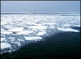
Persistent, strong northerly winds have stretched the ice cover to its second widest extent.
Published Mar 20, 2012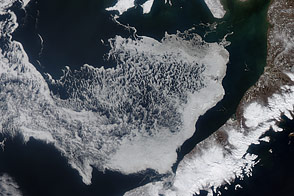
Acquired April 11 and 24, 2012, these images show the movement of sea ice in the Bering Sea with the advance of spring.
Published May 6, 2012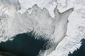
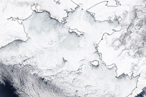
A blanket of white covered southwestern Alaska in mid-January 2012.
Published Jan 22, 2012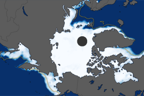
The extent of Arctic sea ice peaked at 15.24 million square kilometers on March 18, 2012. It was the ninth consecutive year of maximum extents below the long-term average.
Published Mar 27, 2012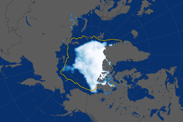
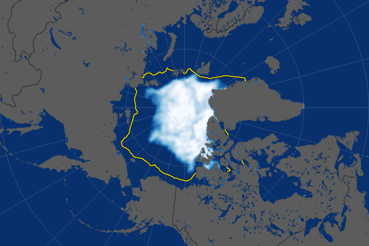
The ice cap tied for the sixth lowest extent on record, continuing a long-term decline.
Published Sep 28, 2018Image of the Day Water Snow and Ice Remote Sensing Sea and Lake Ice
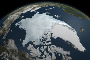
This animation shows Arctic sea ice shrinking to a near record minimum in the summer of 2011.
Published Sep 22, 2011
The 2014 arctic sea ice minimum is the sixth lowest on record, while antarctic sea ice continues to exceed the record maximum extent.
Published Sep 24, 2014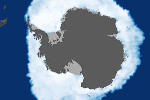
As the Arctic experienced a new record summer minimum for ice extent, the Antarctic set a new record for maximum winter sea ice.
Published Oct 11, 2012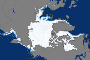
Sea ice extent for January 2016 was one of the lowest on record since space-based observations began in 1978.
Published Feb 18, 2016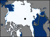
The long-term trend for Arctic sea ice extent has been definitively downward.
Published Sep 23, 2019Image of the Day Heat Water Snow and Ice Remote Sensing Sea and Lake Ice