The mangroves in Pongara National Park are among the tallest in the world, towering up to 60 meters.
Published May 19, 2017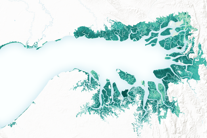
Mangrove forests are among the planet’s best carbon scrubbers.
Published Feb 27, 2019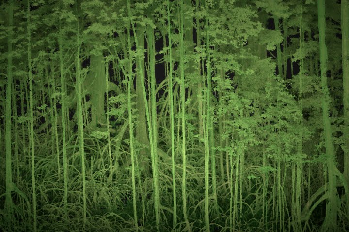
Scientists use lasers and cameras to characterize the 3D structure of mangrove forests in Gabon.
Published Jun 1, 2017
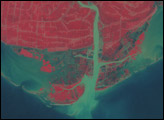
Satellites offer some needed perspective on the status of vulnerable mangrove forests along the Indian city’s many waterways.
Published Nov 30, 2017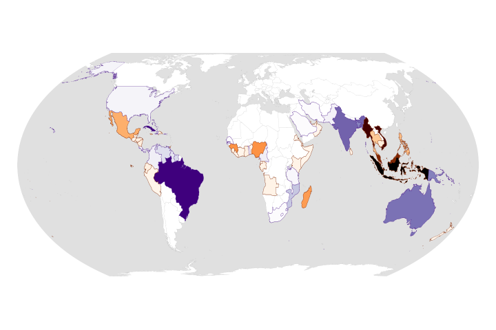
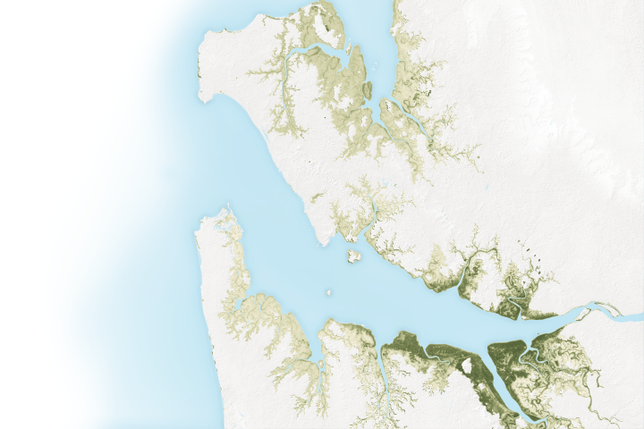
While the rate of losses has declined, the ecosystems are still threatened and are facing more environmental stress.
Published Aug 25, 2020Image of the Day Land Life Water Human Presence Remote Sensing
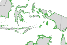
Mangroves are among the most biologically important ecosystems on the planet and a common feature of tropical and sub-tropical coastlines. Scientists have used satellite imaging to compile the most detailed map of the extent of mangroves worldwide.
Published Nov 30, 2010
Record-high temperatures and reduced rainfall have decimated the trees and shrubs along the northern coast.
Published Aug 10, 2016
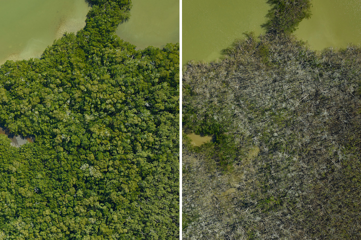
A research team flew over the Everglades and found that an estimated 60 percent of their mangrove study areas were heavily or severely damaged by hurricanes in 2017.
Published Apr 19, 2018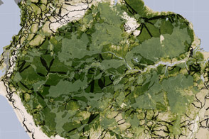
Researchers studying tropical forests have mapped out a way to preserve significant amounts of carbon-rich vegetation and biodiversity by connecting existing protected areas.
Published Apr 2, 2014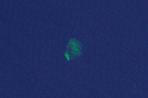
Researchers have turned to citizen scientists to help detect previously unknown or recently disrupted kelp forests in satellite imagery.
Published Jan 13, 2015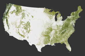
The National Biomass and Carbon Dataset reveals the location and the carbon storage of forests in the United States.
Published Jan 11, 2012