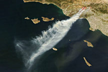
In December 2017, thick smoke streamed from several fires burning in southern California.
Published Dec 7, 2017
Wildfires continue to menace Southern California.
Published Dec 8, 2017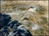
Driven by powerful Santa Ana winds, wildfires raged near Los Angeles, California, in mid-October 2008.
Published Oct 15, 2008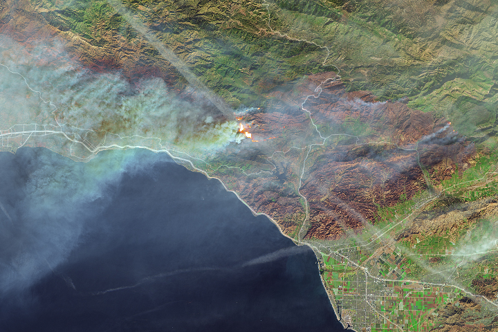
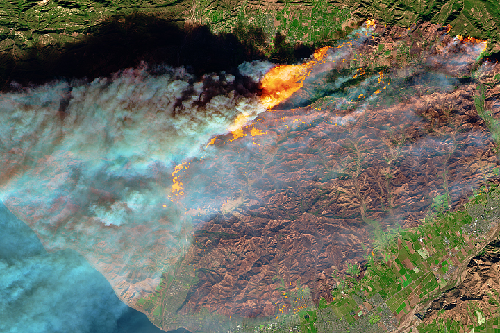
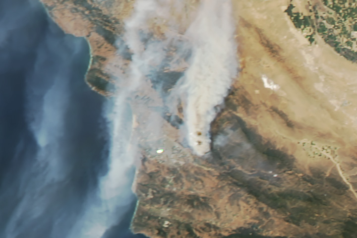
Thick smoke from the blaze blanketed Santa Barbara.
Published Dec 11, 2017
Powerful Santa Ana winds fueled the destructive blaze.
Published Dec 5, 2017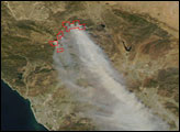
As the smoke from this fire makes clear, surface winds do not always blow in the same direction as those at higher altitudes.
Published Jul 21, 2017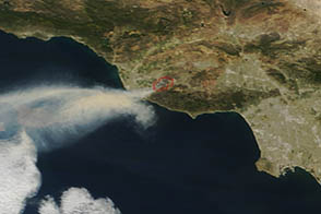
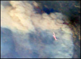
On May 2, 2013, the MODIS instrument on the Terra satellite captured this image of wildfire burning near Los Angeles, California.
Published May 4, 2013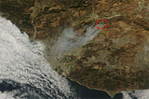
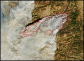
Acquired shortly before noon local time on September 22, 2009, this true-color image shows smoke from the Guiberson Fire blowing southwestward toward the Pacific coastline. A red outline gives the rough perimeter of the fire.
Published Sep 23, 2009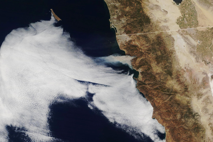
Hot, dry weather and fierce easterlies fanned the flames of several blazes, endangering homes and lives.
Published Oct 25, 2019