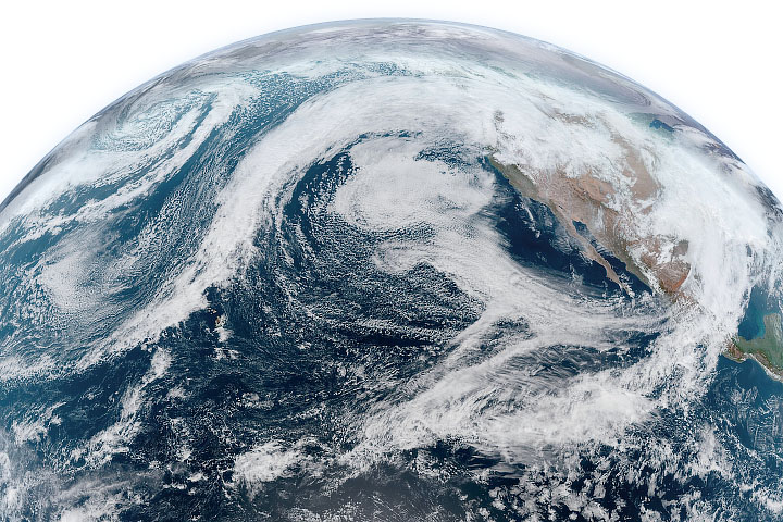
Following an exceptionally wet January, an atmospheric river carried even more moisture into the region in February.
Published Feb 7, 2020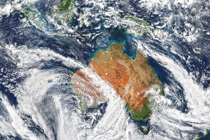
Two atmospheric rivers hit Australia’s east and west coasts with severe rains on the same day.
Published Aug 13, 2020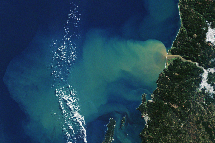
In late June 2019, a potent atmospheric river event carried soaking rain into southern Chile, dropping nearly a month’s worth of precipitation in just 48 hours.
Published Jul 6, 2019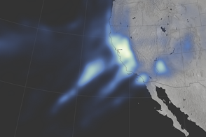
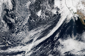
Parts of Northern California and the Sierra Nevada have not seen this much rain and snow since 2005.
Published Jan 12, 2017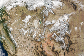
A few weeks before the arrival of winter, some areas of Canada and the western United States were doused with cold rain and snow.
Published Nov 19, 2015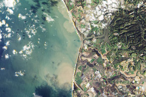
Heavy rains discolored the waters off the coast of California in late February.
Published Mar 3, 2017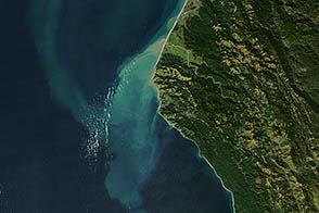
Heavy rains sent mud and sand rushing out into the Pacific.
Published Dec 12, 2012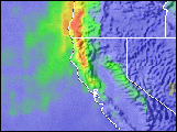
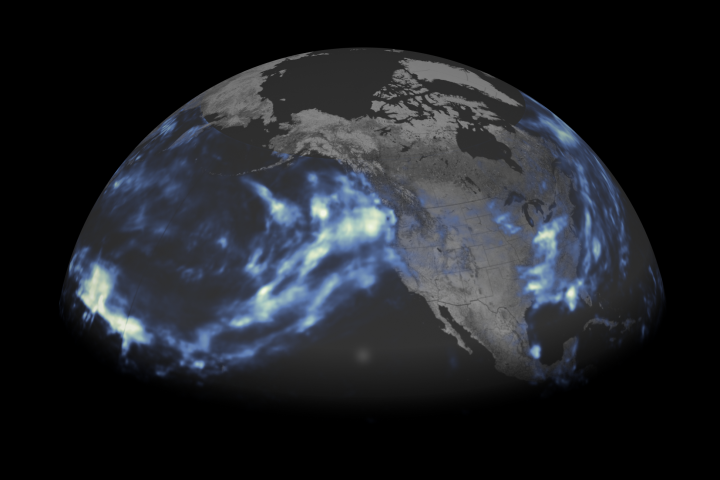
Atmospheric rivers from the Pacific have soaked California and other western states with more than twice the usual amount of rain.
Published Feb 22, 2017
As they prepare for a satellite that will measure the height and areal extent of rivers in unprecedented detail, hydrologists have released a better map of North American river widths.
Published Jul 9, 2015
An unusual atmospheric river should give northern California a buffer against drought as the state enters the dry, summer months.
Published Apr 13, 2018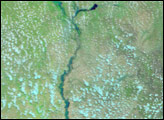
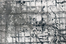
The Advanced Land Imager on NASA's Earth Observing-1 satellite captured these natural-color views of snow cover, melting, and developing floods around Fargo, N.D., and Moorhead, Minn. in spring 2011.
Published Apr 9, 2011