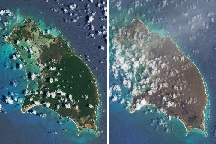
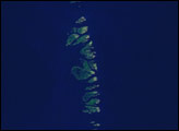
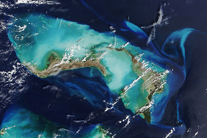
Lush landscapes on the Caribbean islands turned brown after being battered by the powerful storm.
Published Sep 13, 2017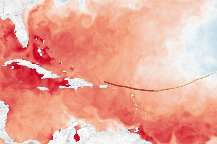
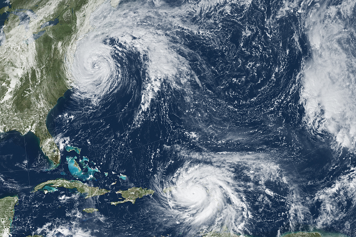
After striking the Leeward Islands as a category 5 storm, Irma is headed toward more warm, hurricane-sustaining water.
Published Sep 7, 2017Image of the Day Land Water Severe Storms Human Presence Remote Sensing
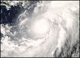
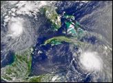
In this image, the storm more than covers the expanse of ocean between the northern coasts of Colombia and Venezuela, and Puerto Rico.
Published Oct 17, 2008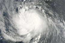
Acquired August 29, 2010, this natural-color image shows Hurricane Earl near the Lesser Antilles.
Published Aug 30, 2010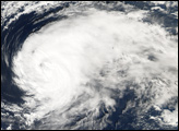
Hurricane Maria brought potent winds and dire warnings to Caribbean islands just two weeks after Irma devastated the region.
Published Sep 20, 2017Image of the Day Atmosphere Land Water Severe Storms Human Presence Remote Sensing
The storm left a path of destruction from the Caribbean to the Canadian Maritimes.
Published Sep 9, 2019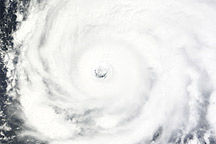
Acquired September 14, 2010, this natural-color image shows Hurricane Igor over the Atlantic Ocean.
Published Sep 15, 2010