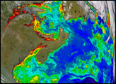
The convergence of warm and cold currents off the coast of Patagonia helps fuel large blooms of phytoplankton. This pair of images shows temperature and chlorophyll in November 2009.
Published Jan 12, 2010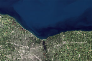
Like an interesting novel, Landsat 8 provides a good read for a day along the shore.
Published Aug 22, 2014
Landsat 8 can observe wavelengths of blue light that will make it easier to observe the swirl of life and water along the world’s coastlines.
Published May 31, 2013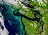
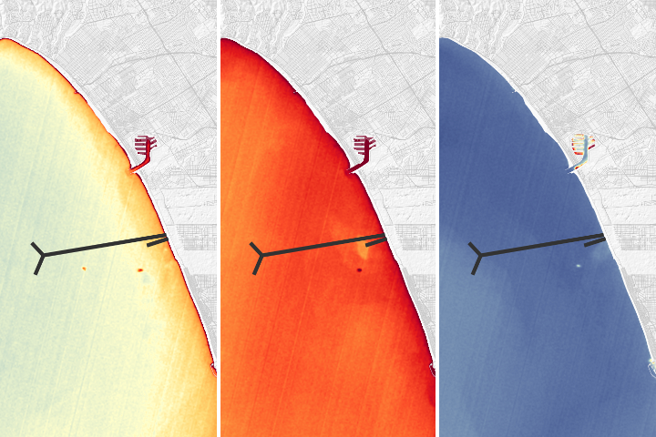
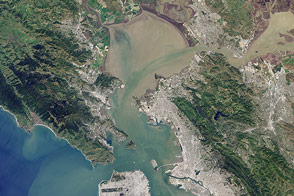
A NASA team was able to use satellite imagery to observe effects of a repair of Los Angeles' largest wastewater treatment plant.
Published Oct 30, 2018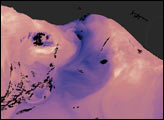
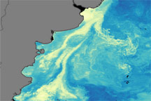
In the winter, strong winds drive surface waters away from the shore, and cold water from the deep ocean wells up to replace it.
Published Jan 8, 2005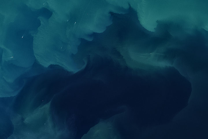
Phytoplankton and sediment produced a vivid display in this relatively shallow sea between Great Britain and northern Europe.
Published Apr 9, 2020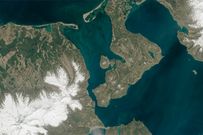
A new remote sensing technique could make it easier to map seafloor channels in coastal areas.
Published Aug 15, 2015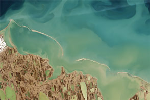
By analyzing satellite images of sediments, coastal researchers and cartographers can identify potential shallows, shoals, and shipping hazards.
Published Sep 17, 2015