Acquired March 6, 2013, this image shows a dust storm blowing over the Persian Gulf.
Published Mar 7, 2013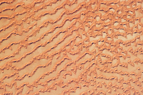
The Ar Rub’ al Khali, or Empty Quarter, covers much of the south-central portion of the Arabian Peninsula and is the largest continuous sand desert on Earth.
Published May 30, 2011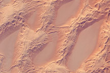
This astronaut photograph shows classic large and small sand masses of the central Sahara Desert, where wind is a more powerful land-shaping agent than water.
Published Jan 19, 2009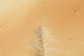
A slight rise of rocky land interrupts the linear dunes of the Empty Quarter.
Published Apr 22, 2012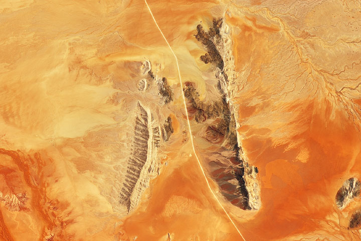
Sand dunes and outcrops add color and dimension across the Namib Sand Sea.
Published Jan 13, 2020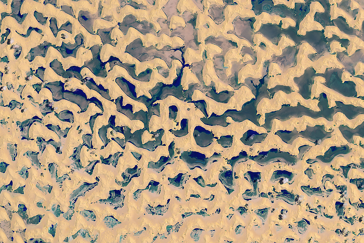
Rainfall from the remnants of Tropical Cyclone Mekunu dropped enough rain over the Arabian Peninsula to form lakes between the sand dunes in the Rub’ al-Khali.
Published Jun 15, 2018Image of the Day Heat Land Water Unique Imagery Remote Sensing
Layers of dunes march across a sand sea in the east-central Tenéré Desert of Niger in this astronaut photo from December 1, 2009.
Published Dec 28, 2009
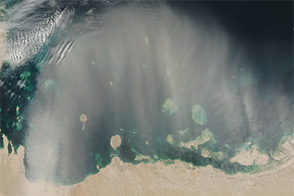
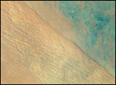
A dust plume spans hundreds of kilometers over the Arabian Peninsula in this natural-color image from late February 2012.
Published Mar 2, 2012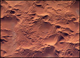
he Issaouane Erg (sand sea) is located in eastern Algeria between the Tinrhert Plateau to the north and the Fadnoun Plateau to the south. Considered to be part of the Sahara Desert, the Issaouane Erg covers an area of approximately 38,000 km2. These complex dunes form the active southwestern border of the sand sea.
Published Feb 7, 2005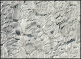
Astronauts have obtained thousands of detailed images of the world’s remote deserts, helping scientists better understand local geomorphological features in a regional context. Driven by northwesterly winds, sands from northwest Saudi Arabia have accumulated in the center of the country as great rivers of dunes (cordons) that extend for hundreds of kilometers. About 320 kilometers northwest of Riyadh, the steep, almost cliff-like margin of the Ad Dahna cordon casts a shadow (right center; diagonally across the scene). Two types of dune surface appear: the tracery of numerous linear dunes (center) and a featureless sand sheet (lower left). Dark, older rocks (30-65 million years old—top right) underlie the sand sea and crop out northeast of the cordon. Convergent dry river beds appear top right.
Published Sep 27, 2004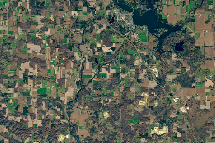
A fracking-fueled demand for round and durable sand has triggered a mining boom in the western part of the state.
Published Mar 14, 2018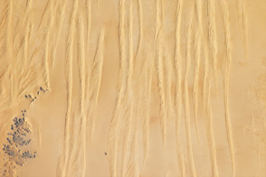
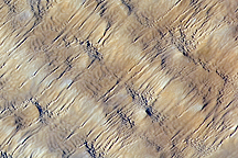
Winds shape the sands that were left behind by an ancient river.
Published Jun 4, 2012