Fire is ubiquitous, both a tool and a destructive force. Like plants, fire grows and wanes in seasons.
Published Dec 31, 2008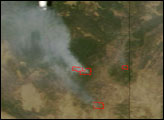
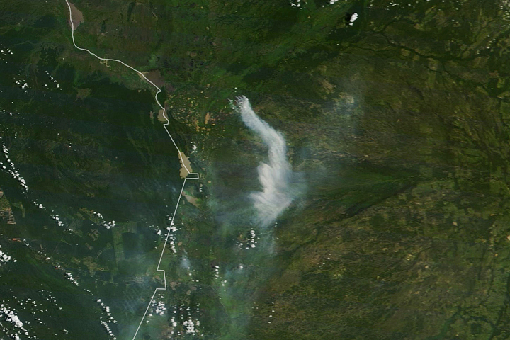
Satellites have detected an increase in fire activity early in the 2019 dry season in the southern Amazon.
Published Aug 23, 2019Image of the Day Atmosphere Heat Land Fires Human Presence Remote Sensing

The reality of science, statistics, and satellites is that a deep understanding of the causes, effects, and severity of a fire season takes time.
Published Mar 3, 2020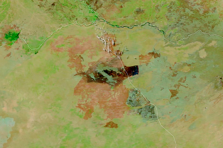
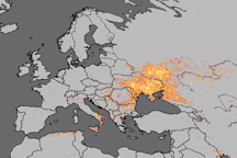
Satellites detect fires that are not necessarily being reported. Scientists are taking note and compiling global views of fire behavior and evolution.
Published Oct 22, 2018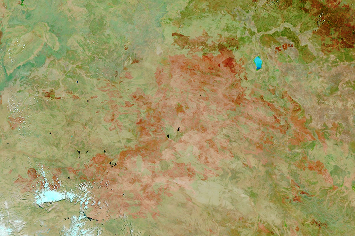
The satellite-based atlas includes information about more than 13 million fires.
Published Aug 8, 2019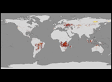
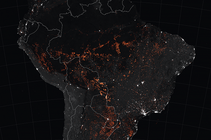
Even during the wet season, fires can burn in the large wetland region in southwestern Brazil.
Published Mar 10, 2020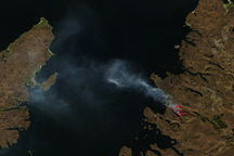
This true-color image shows a large fire burning on the western coast of Scotland.
Published May 5, 2011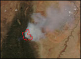

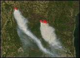
On May 2, 2013, the MODIS instrument on NASA’s Aqua satellite captured this view of wildfires burning near Lassen Volcanic National Park.
Published May 3, 2013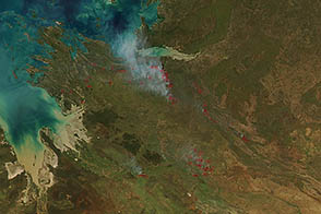
Land managers in the Kimberley region of Australia set low-intensity, controlled fires early in the dry season to protect from destructive blazes later in the year.
Published Apr 12, 2013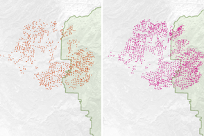
Scientists have found a way to detect nighttime fires even sooner, when they are still relatively small.
Published Apr 7, 2017