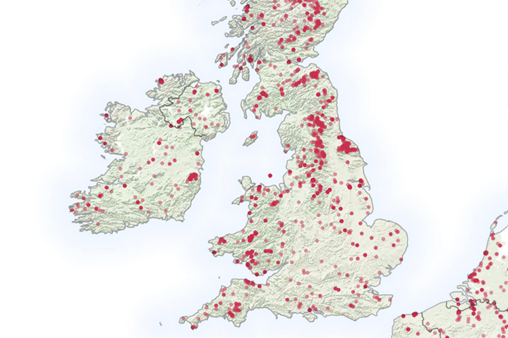
It is not even summertime, but already the United Kingdom has seen a significant number of wildfires.
Published May 6, 2019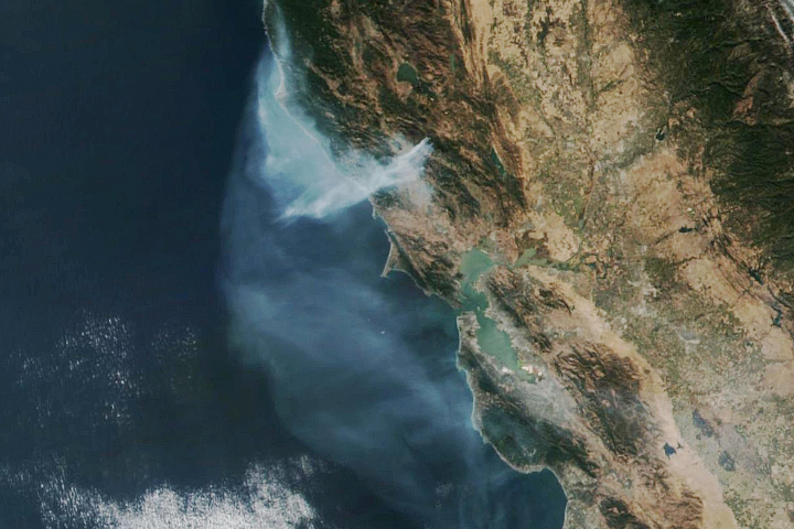
The eastern part of the fire was active overnight, expanding the burned area to 76,000 acres.
Published Oct 30, 2019
The blaze is the largest in Arizona this year and the largest in the United States right now.
Published Jun 16, 2020Image of the Day Heat Land Fires Human Presence Remote Sensing
The VIIRS instrument on the Suomi NPP satellite tracked the growth of the fire between August 20 and September 4.
Published Sep 8, 2013
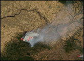
An expansive, destructive wildfire north of Los Angeles is visible from space by day and night.
Published Jun 28, 2016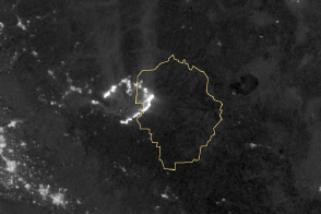
Burning in the northeast corner of Yosemite National Park, the Rim Fire ranks among the largest in California history.
Published Aug 28, 2013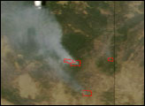
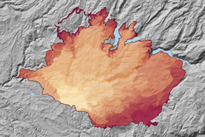
At 369 square miles in size, the Rim Fire is the largest in the United States in 2013.
Published Sep 4, 2013
A wildfire in Fresno County, California has burned more than 28,000 acres.
Published Jul 20, 2020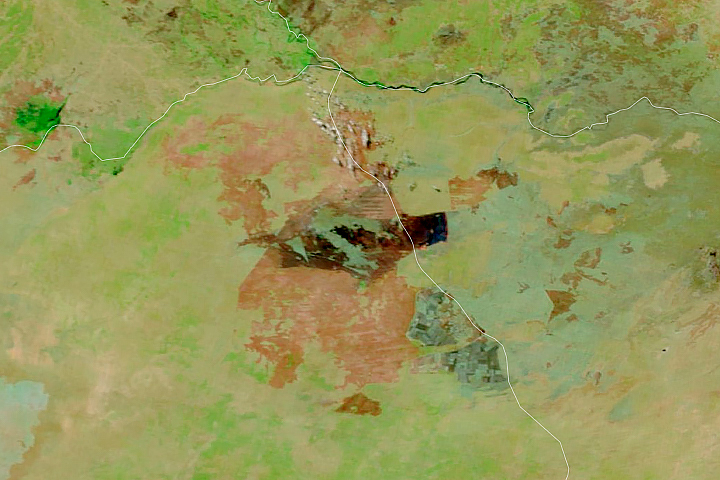
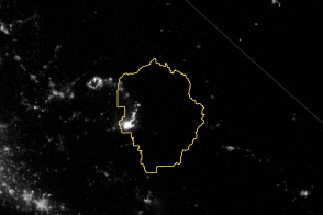
Satellites detect fires that are not necessarily being reported. Scientists are taking note and compiling global views of fire behavior and evolution.
Published Oct 22, 2018
The reality of science, statistics, and satellites is that a deep understanding of the causes, effects, and severity of a fire season takes time.
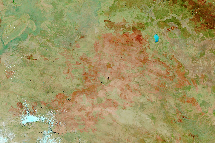
Published Mar 3, 2020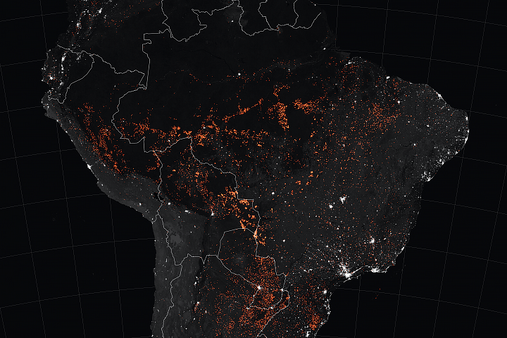
Satellites have detected an increase in fire activity early in the 2019 dry season in the southern Amazon.
Published Aug 23, 2019Image of the Day Atmosphere Heat Land Fires Human Presence Remote Sensing
The satellite-based atlas includes information about more than 13 million fires.
Published Aug 8, 2019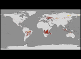
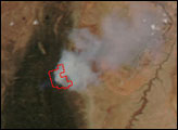

A wildfire burning in Los Padres National Park charred more than 500 acres—including the home of Big Sur’s fire chief.
Published Dec 17, 2013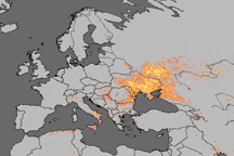
Fire is ubiquitous, both a tool and a destructive force. Like plants, fire grows and wanes in seasons.
Published Dec 31, 2008