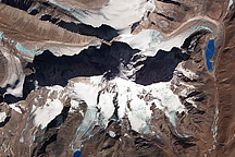
A range of glacier-capped mountains northwest of Lhasa, Tibet, casts long shadows in this winter-time image from the ASTER sensor on NASA’s Terra satellite.
Published Nov 12, 2009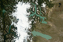
Acquired on February 19, 2011, this natural-color image shows multicolored glacial lakes extending from Andean glaciers. The lakes extend primarily eastward across the high plain.
Published Mar 11, 2011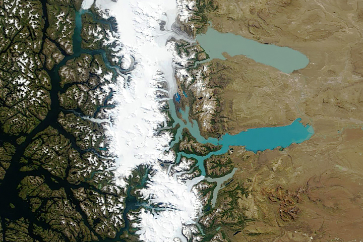
Where some of the park’s most notable glaciers end, a series of colorful glacial lakes begin.
Published Jun 11, 2019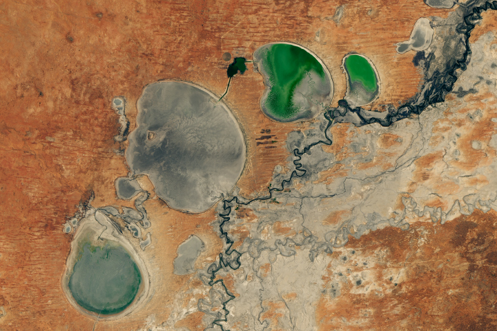
The Menindee Lakes in New South Wales are facing extremely low water levels.
Published Feb 26, 2019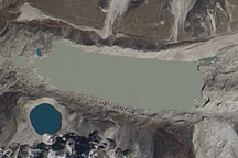
Acquired October 4, 2010, this natural-color image shows Imja Tsho and surrounding glaciers in eastern Nepal.
Published Oct 17, 2010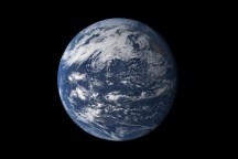
Earth is a water planet. Three-quarters of the planet’s surface covered by ice or oceans, and the sky is filled with clouds.
Published Oct 2, 2010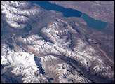
This scene on the remote, rugged Argentine/Chilean border in the far southern Andes Mountains offers numerous, dramatic examples of both erosional processes and features of ice and water.
Published Dec 24, 2000
Natural vegetation and irrigated farmland along the Snake River Plain in Idaho use dramatically different amounts of water during the growing season.
Published Jan 26, 2010
Groundwater supplies are decreasing across much of the world.
Published Nov 1, 2013
An arid region grew even drier between 2003 and 2009 due to human consumption of water for drinking and agriculture.
Published Mar 13, 2013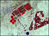

For more than 100 years, groups in the western United States have fought over water. During the 1880s, sheep ranchers and cattle ranchers argued over drinking water for their livestock on the high plains. In 1913, the city of Los Angeles began to draw water away from small agricultural communities in Owen Valley, leaving a dusty dry lake bed. In the late 1950s, construction of the Glen Canyon Dam catalyzed the American environmental movement. Today, farmers are fighting fishermen, environmentalists, and Native American tribes over the water in the Upper Klamath River Basin. The Landsat 7 satellite, launched by NASA and operated by the U.S. Geological Survey, documented an extreme drought in the area along the California/Oregon border in the spring of 2001.
Published Sep 8, 2001