At the time of landfall on October 4, 2016, Hurricane Matthew became the strongest storm to hit Haiti in more than 50 years.
Published Oct 5, 2016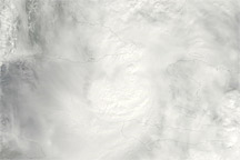
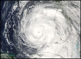
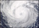
Acquired November 5, 2010, this natural-color image shows Hurricane Tomas in between Haiti and Cuba.
Published Nov 5, 2010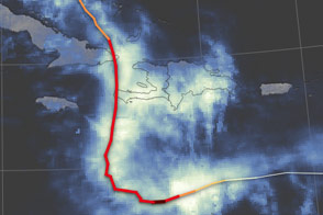
Satellites observed more than 800 millimeters (30 inches) of rain falling in parts of Haiti.
Published Oct 7, 2016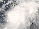
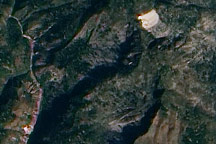
This true-color image from January 15, 2010, highlights potential new landslides near the epicenter of Haiti’s massive 7.0 earthquake.
Published Jan 19, 2010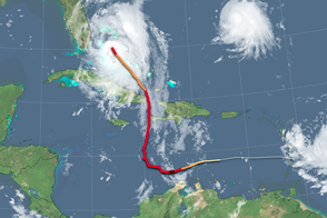
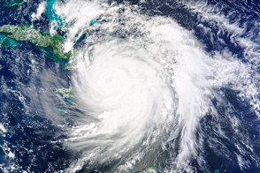
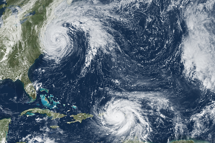
Hurricane Matthew strengthened as it approached the east coast of Florida.
Published Oct 7, 2016Image of the Day Severe Storms Human Presence Remote Sensing
Hurricane Maria brought potent winds and dire warnings to Caribbean islands just two weeks after Irma devastated the region.
Published Sep 20, 2017Image of the Day Atmosphere Land Water Severe Storms Human Presence Remote Sensing