Satellites observed more than 800 millimeters (30 inches) of rain falling in parts of Haiti.
Published Oct 7, 2016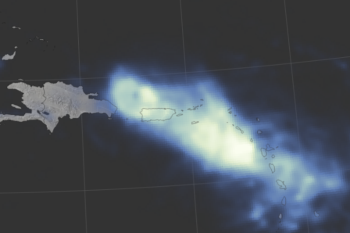
Hurricane Maria delivered a tremendous amount of rain in a short period of time.
Published Sep 24, 2017Image of the Day Land Water Severe Storms Human Presence Remote Sensing
Hurricane Joaquin never made landfall, yet the weather system has wreaked havoc in the Americas.
Published Oct 6, 2015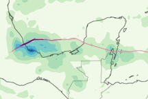
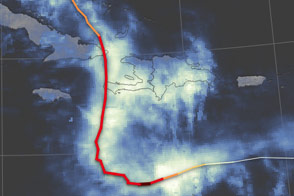
This color-coded map shows the rainfall and storm track associated with Hurricane Karl from September 14 to 18, 2010.
Published Sep 24, 2010
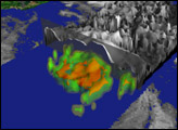
Satellites and astronauts observed the potent storm as it headed for landfall in the southeastern United States.
Published Sep 12, 2018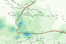
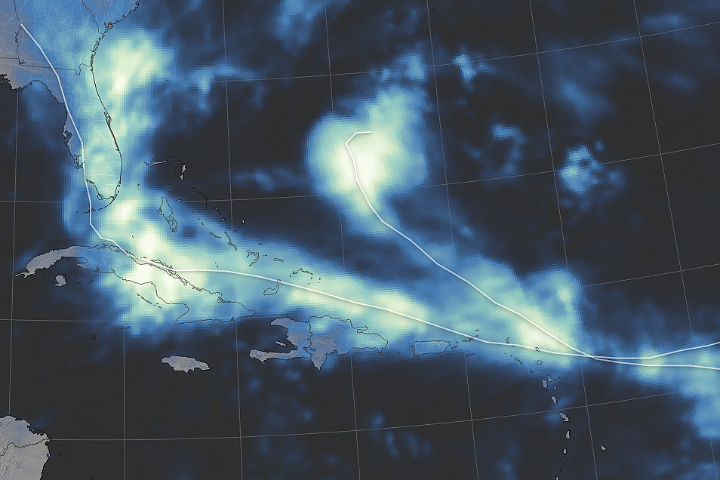
This color-coded image shows rainfall over the Caribbean from November 1 to 7, 2010, and the storm track for Tomas from October 30 to November 7, 2010.
Published Nov 8, 2010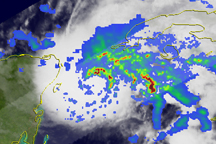
Bands of heavy rain circled the center of Hurricane Ida on November 8, when the storm was passing through the Yucatan Channel, but as the storm headed northward into the Gulf of Mexico on November 9, the rainfall bands became less organized.
Published Nov 9, 2009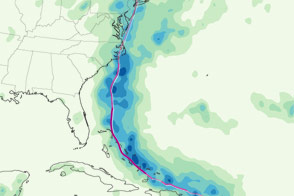
This color-coded map shows the storm track and rainfall totals associated with Hurricane Irene from August 22 to 28, 2011.
Published Aug 30, 2011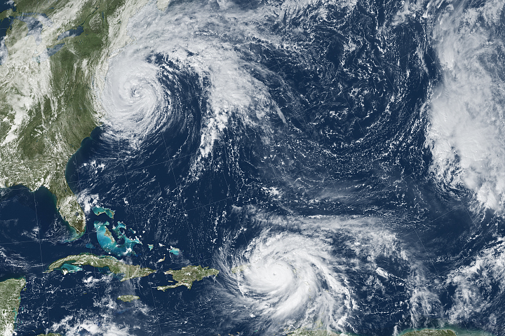
Hurricane Maria brought potent winds and dire warnings to Caribbean islands just two weeks after Irma devastated the region.
Published Sep 20, 2017Image of the Day Atmosphere Land Water Severe Storms Human Presence Remote Sensing
Rainfall from Hurricane Irma affected people on land, while most of Jose’s rain fell over the Atlantic Ocean.
Published Sep 14, 2017Image of the Day Land Water Severe Storms Human Presence Remote Sensing
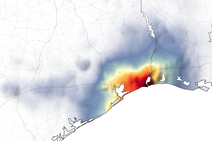
Parts of Houston and Beaumont are underwater after the remnants of Tropical Storm Imelda moved through the area.
Published Sep 20, 2019Image of the Day Land Water Floods Severe Storms Human Presence Remote Sensing
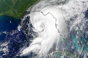
For the first time in a decade, a hurricane is poised to strike Florida.
Published Sep 1, 2016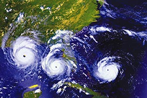
Twenty years ago, one of the most intense hurricanes on record tore through southern Florida.
Published Aug 24, 2012