The satellite-based atlas includes information about more than 13 million fires.
Published Aug 8, 2019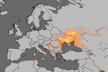
Fire is ubiquitous, both a tool and a destructive force. Like plants, fire grows and wanes in seasons.
Published Dec 31, 2008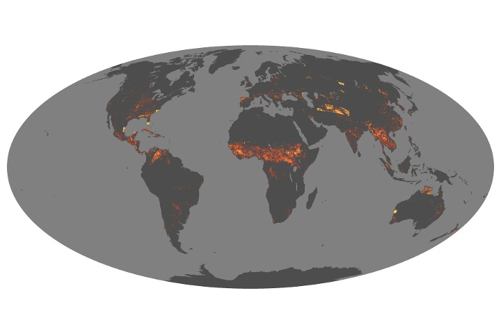
Scientists have answered some important questions about how fires vary around the world and are changing over time.
Published Aug 21, 2019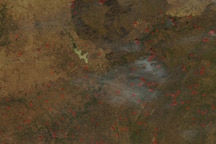
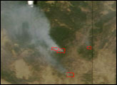
Widespread fires were burning across West Africa when this photo-like image was taken on November 30, 2010.
Published Dec 1, 2010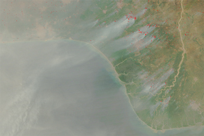
Every year, a massive band of manmade fire emerges in satellite imagery of northern Sub-Saharan Africa in November.
Published Feb 9, 2016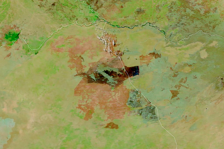
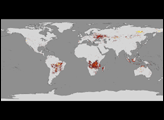
Satellites detect fires that are not necessarily being reported. Scientists are taking note and compiling global views of fire behavior and evolution.
Published Oct 22, 2018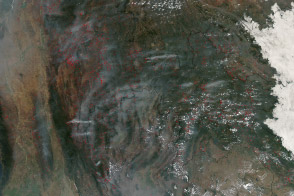
Hundreds of fires veiled northern Indochina in smoke as the traditional land-use burning season neared its peak.
Published Mar 19, 2014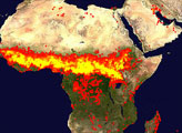

The reality of science, statistics, and satellites is that a deep understanding of the causes, effects, and severity of a fire season takes time.
Published Mar 3, 2020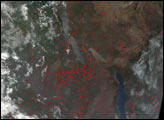
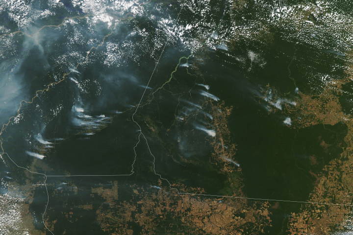
Following a notable increase in fire activity in August 2019 and a gradual rise in deforestation, scientists have been watching for signs of how 2020 might shape up. Several worrisome signs have emerged.
Published Aug 19, 2020Image of the Day Heat Land Fires Human Presence Remote Sensing
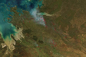
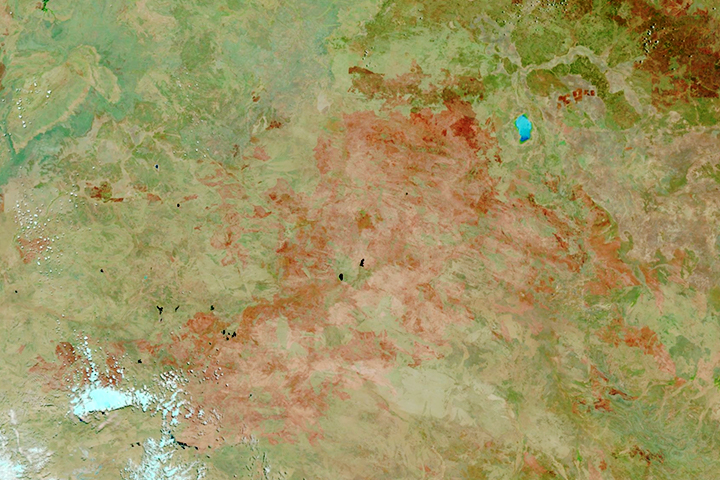
Land managers in the Kimberley region of Australia set low-intensity, controlled fires early in the dry season to protect from destructive blazes later in the year.
Published Apr 12, 2013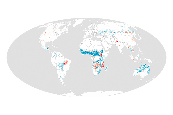
Changes in human settlement patterns and agriculture have led to less burning in grasslands, tropical forests, and savannas.
Published Jun 30, 2017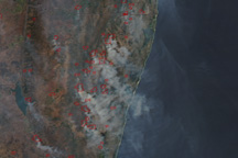
Widespread fires produce thick smoke in this image of South Africa from September 15, 2010.
Published Sep 15, 2010