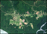
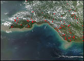
In June 2008, an international team of researchers released a report on the state of Papua New Guinea’s forests. The study summarized the findings from a five-year project in which the scientists compared high-resolution satellite imagery from the early 1970s and the early 2000s. The researchers found evidence of rapid deforestation and degradation, driven primarily by logging, subsistence agriculture, fires, and the development of mines and plantations.
Published Jun 8, 2008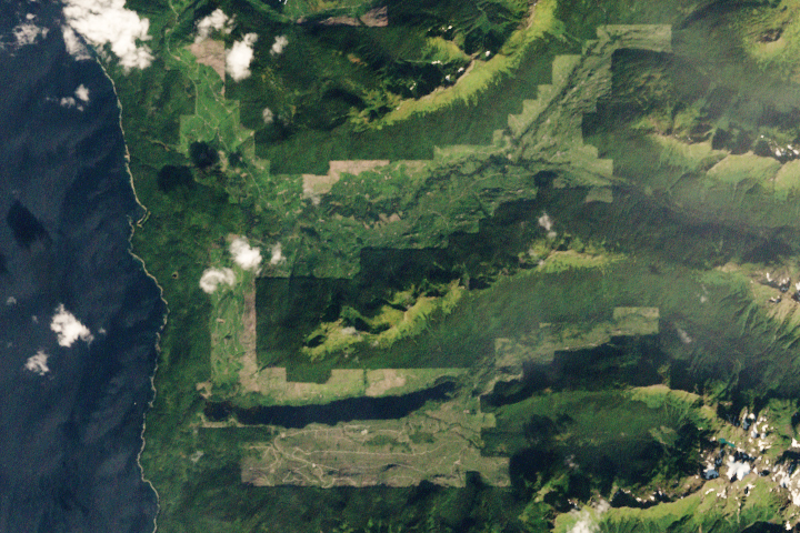
Brown bears abound on this Alaskan island, parts of which have seen both widespread clear-cutting and forest regrowth in recent decades.
Published Apr 24, 2020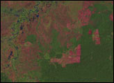
Potent storms and pesky predators—as well as climate change—are altering the dynamics of these underwater forests.
Published Jan 20, 2015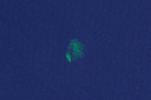
Researchers have turned to citizen scientists to help detect previously unknown or recently disrupted kelp forests in satellite imagery.
Published Jan 13, 2015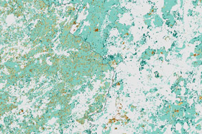
Political change in Eastern Europe and Russia has left its mark on forests in the region.
Published Jul 16, 2015
Forests in drylands are much more extensive than previously reported.
Published Aug 10, 2017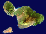
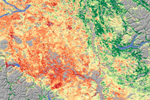
As the size of British Columbia’s pine beetle infestation has grown, forest managers have begun to need a technique to identify damage over large areas. Relying on a variety of data sources, including satellite data, scientists from Goddard Space Flight Center conducted a survey of insect-damaged forests in British Columbia. This image shows their assessment of insect damage overlain on a topography map.
Published Dec 19, 2008
By changing a percentage, institutions can take some forested lands off the map.
Published Dec 18, 2015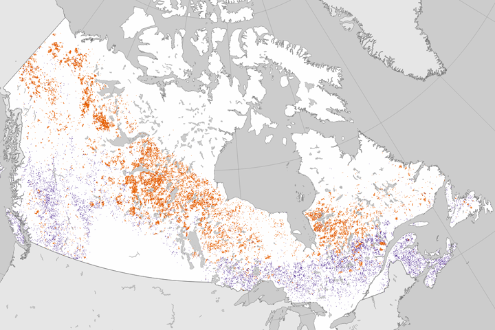
Researchers analyzed 25 years of Landsat data to establish where forests had burned or been cut.
Published Jun 27, 2017
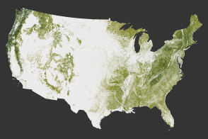
The National Biomass and Carbon Dataset reveals the location and the carbon storage of forests in the United States.
Published Jan 11, 2012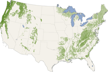
From the Pacific Northwest—home of the towering redwoods&mdash to the Southern Appalachians, this map shows forest canopy heights across the United States.
Published Jul 22, 2010