
By changing a percentage, institutions can take some forested lands off the map.
Published Dec 18, 2015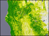

Differences in how international and national institutions classify forests can lead to large discrepancies in measurements of land cover.
Published Nov 17, 2015
Since the mid-1200s, the state has controlled Niepołomice Forest, which contains some of the last pockets of old-growth forest in Poland.
Published Nov 29, 2013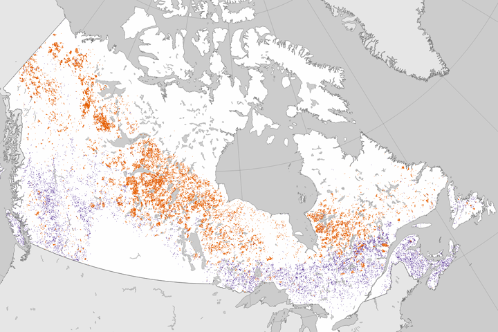
Researchers analyzed 25 years of Landsat data to establish where forests had burned or been cut.
Published Jun 27, 2017
Dry weather in the Northeast has triggered an explosion in the populations of gypsy moth caterpillars, which are voracious eaters of forest canopies.
Published Jul 15, 2016
The opening of the Landsat data archive and a partnership with Google has allowed researchers to track the fine details of forest change around the world.
Published May 7, 2015
Forests in drylands are much more extensive than previously reported.
Published Aug 10, 2017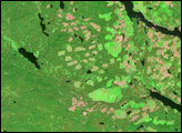
In British Columbia’s Coast Mountains, some 200 kilometers (125 miles) inland from the Pacific Ocean, rivers and lakes cut tortuous paths through rugged terrain. The peaks and valleys in this region are covered with forest, but the forest has changed over the years due to human use and insect pests, in particular, the mountain pine beetle.
Published Oct 12, 2008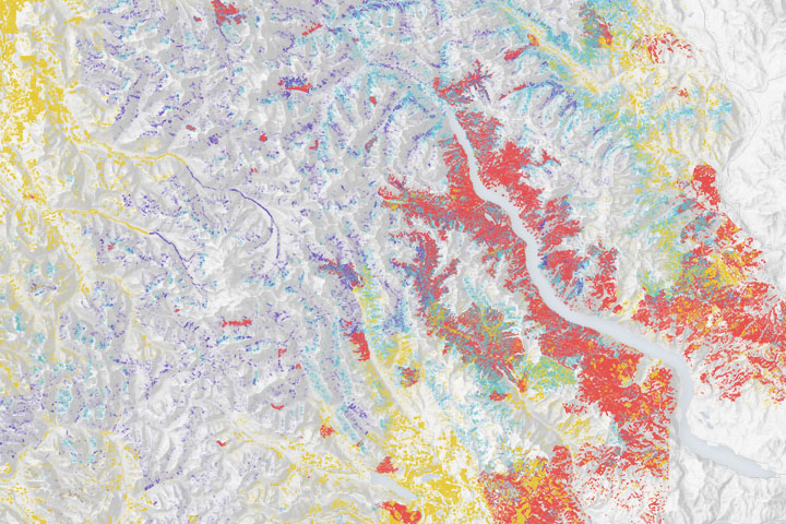
Wildfires make a significant mark on the bird’s nesting and roosting habitat.
Published Dec 23, 2019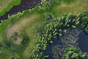
A small plane flying low over remote forests is sending back eye-popping aerial photography—as well as scientific measurements that will improve understanding of how Alaska’s forests are responding to global warming.
Published Jul 25, 2014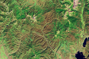
Pine bark beetles have been ravaging forests in the Rocky Mountains.
Published Jul 28, 2012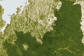
New analysis gives a clearer picture of changes to a forest landscape.
Published Mar 8, 2017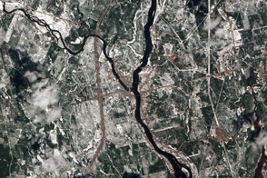
A patchwork of evergreen and deciduous forest has been a boon to research, outdoor recreation, and logging.
Published Feb 10, 2013