The Hayden Pass Fire has forced the evacuation of more than 100 homes since July 8.
Published Jul 12, 2016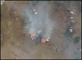
Scientists have found a way to detect nighttime fires even sooner, when they are still relatively small.
Published Apr 7, 2017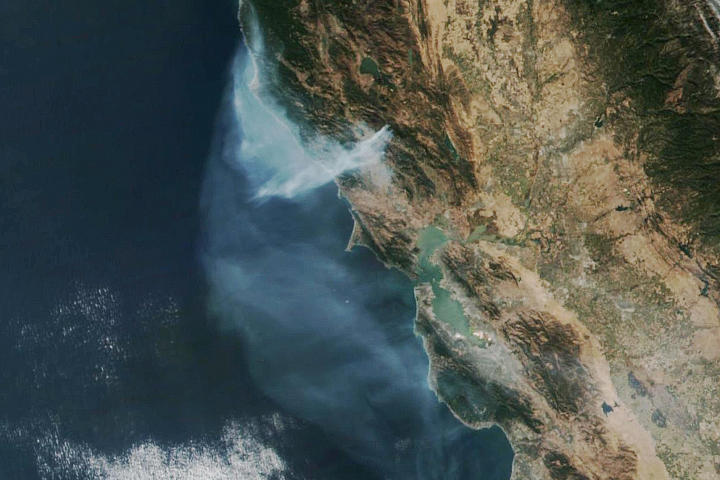
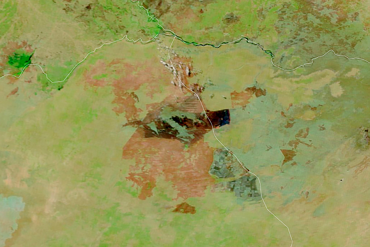
The eastern part of the fire was active overnight, expanding the burned area to 76,000 acres.
Published Oct 30, 2019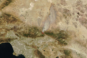
Dry, windy weather intensified the blaze near San Bernardino.
Published Aug 17, 2016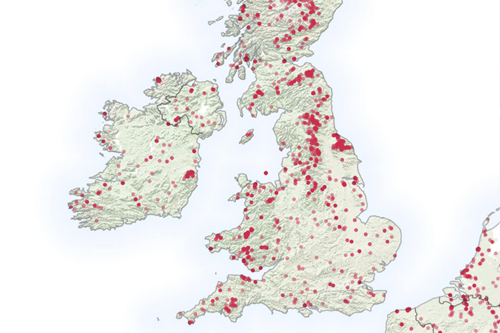
It is not even summertime, but already the United Kingdom has seen a significant number of wildfires.
Published May 6, 2019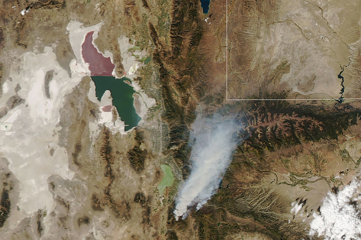
Two lightning-caused fires have burned over 100,000 acres and are still yet to be fully contained.
Published Sep 21, 2018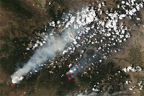
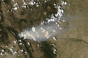
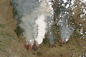
Acquired June 23, 2012, this image shows wildfires burning across Colorado, including the second-largest fire in Colorado history.
Published Jun 26, 2012
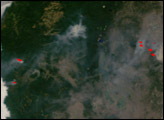
The blaze is the largest in Arizona this year and the largest in the United States right now.
Published Jun 16, 2020Image of the Day Heat Land Fires Human Presence Remote Sensing
Within a few days, four large wildfires burned 400 square miles of land in the mountains and prairies of central Idaho.
Published Aug 14, 2013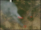
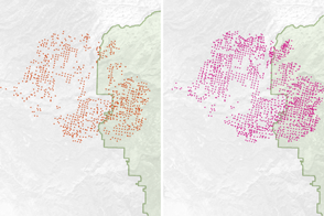
Satellites detect fires that are not necessarily being reported. Scientists are taking note and compiling global views of fire behavior and evolution.
Published Oct 22, 2018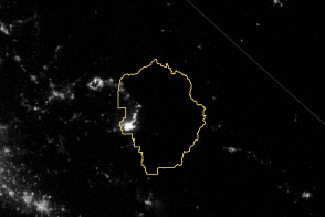
The VIIRS instrument on the Suomi NPP satellite tracked the growth of the fire between August 20 and September 4.
Published Sep 8, 2013
A wildfire in Fresno County, California has burned more than 28,000 acres.
Published Jul 20, 2020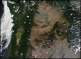

This image from June 9, 2011, shows Arizona’s Wallow Fire in the White Mountains near the border with New Mexico.
Published Jun 10, 2011