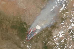
This pair of images shows the vast extent of the Wallow Fire, burning in eastern Arizona, on June 6, 2011.
Published Jun 6, 2011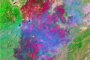
This image shows the extent of Arizona’s Wallow Fire on June 15, 2011.
Published Jun 16, 2011
This image from June 9, 2011, shows Arizona’s Wallow Fire in the White Mountains near the border with New Mexico.
Published Jun 10, 2011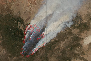
Smoke billows from the Wallow Fire in this natural color image taken on June 8, 2011.
Published Jun 9, 2011
The blaze is the largest in Arizona this year and the largest in the United States right now.
Published Jun 16, 2020Image of the Day Heat Land Fires Human Presence Remote Sensing

A wildfire in Fresno County, California has burned more than 28,000 acres.
Published Jul 20, 2020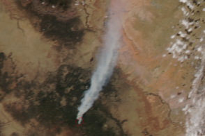
The Slide fire ignited in Oak Creek Canyon south of Flagstaff, Arizona, late in the afternoon of May 20, 2014.
Published May 22, 2014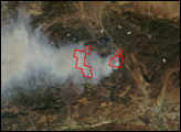
The eastern part of the fire was active overnight, expanding the burned area to 76,000 acres.
Published Oct 30, 2019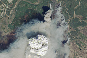
Fire weather clouds are one indication of the intensity of the fast-growing fire on Alaska’s Kenai Peninsula.
Published May 23, 2014
In August 2013, the Silver Fire burned 20,000 acres near Banning, California.
Published Aug 14, 2013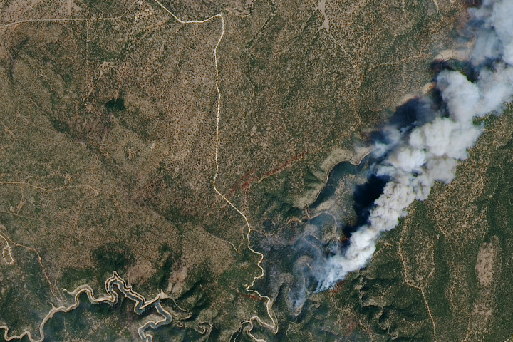
Measuring the height of a smoke plume is key to determining how far it might travel.
Published May 5, 2018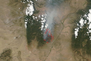
This pair of images shows the Las Conchas Fire burning near the western edge of Los Alamos National Laboratory on June 29, 2011.
Published Jun 30, 2011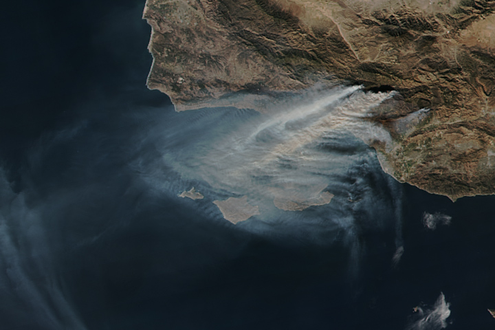
The Thomas fire is now the fourth largest wildfire on record in California.
Published Dec 15, 2017
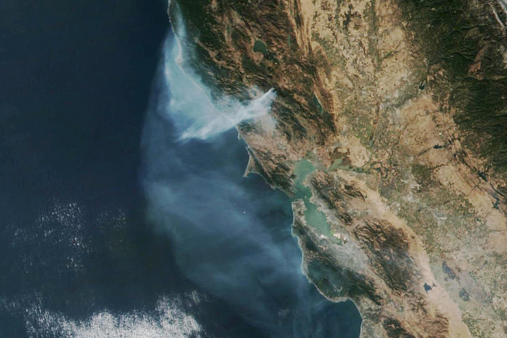
Smoke billowed from a wildfire burning east of San Francisco on September 9, 2013.
Published Sep 10, 2013