
Although not the highest or longest falls in the world, Victoria Falls is the world’s largest sheet of falling water.
Published Sep 1, 2019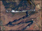
Victoria Falls, on the Zambezi River, is one of the most famous tourist sites in subsaharan Africa. Details of the Falls are visible in this image taken with the 800 mm lens by Astronaut Edward Lu from the Space Station on September 4, 2003. The positions of the falls are controlled by linear fault lines in the underlying basalt rocks. The falls have moved upstream (bottom to top) by intense river erosion, elongating the zig-zag gorge in the process. Prior positions of the strongly linear falls can be detected. The earliest on this cropped view may have been the longest (dashed line). The zig-zags represent subsequent positions, all with the characteristic water-worn lip on the upstream side. The falls will continue to erode northward.
Published Sep 22, 2003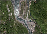
The Niagara River forms the U.S.-Canadian Border and allows Lake Erie to drain northwest into Lake Ontario. Lake Ontario is about 100 m lower than Lake Erie; the Falls and the rapids account for most of the elevation difference. The energy derived from water falling over the falls, with average total flows of 750,000 U.S. gallons (2.8 million liters) per second, fuel multiple power plants on the river. Power Plants downstream from the plant generate 4.4 million kilowatts of power for both Ontario and New York.
Published May 20, 2001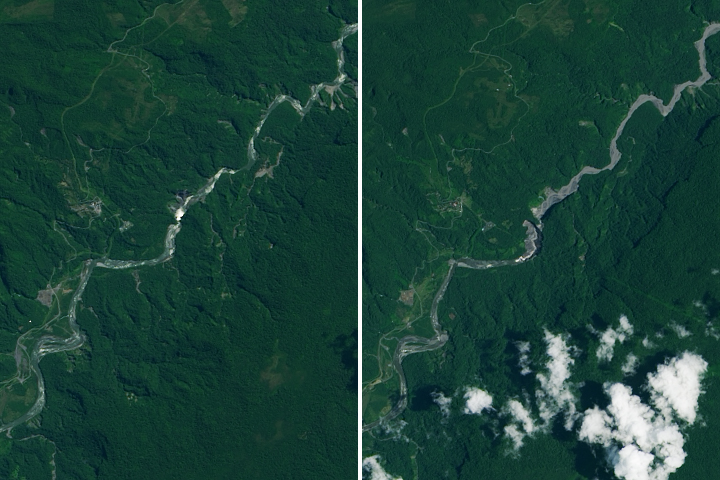
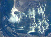
A newly formed sinkhole on the Coca River has diverted water originally headed towards the San Rafael Waterfall.
Published Mar 28, 2020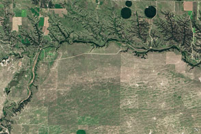
Cliffs, waterfalls, and a wide mix of vegetation line a river that winds through the Great Plains in Nebraska.
Published May 29, 2016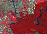
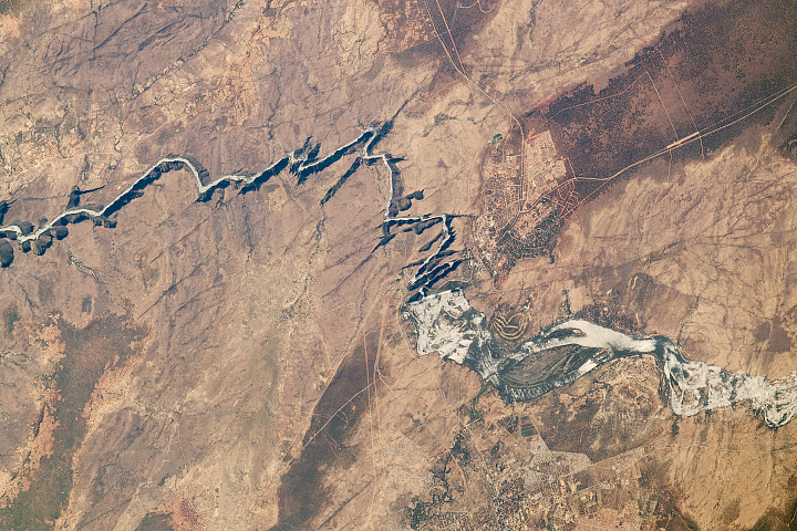
In Western Sahara, an unusual river vanishes in a sand field before it reaches the sea. In the process, it provides water for the largest city in the country.
Published May 9, 2016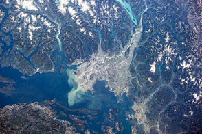
British Columbia's longest river delivers sediment and nutrients to the Strait of Georgia.
Published Jan 7, 2015
Floods and new infrastructure have long since separated the distinctive bend in the river that was portrayed by landscape painter Thomas Cole in 1836.
Published Oct 15, 2017
Acquired May 1, 2011, this natural-color image shows the James River completely filling the river valley near Jamesville, South Dakota.
Published May 3, 2011
Trees have long been cherished here for timber and for the colors they bring to “the Fall Rhapsody.”
Published Oct 24, 2020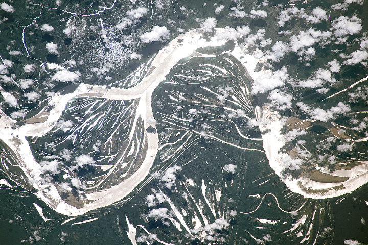
The largest river in the world is full of bends and meanders, a result of the water course snaking back and forth across the landscape over time.
Published Jul 2, 2018
he largest tributary of the Colorado River between Lake Powell and the Grand Canyon, the Paria River flows southeast from its headwaters in southernmost Utah to join the Colorado River between Page, Arizona, and Marble Canyon. The Paria River provides spectacular scenery, and is known for the very narrow “slot” canyons that it cuts through the layered rocks of the Colorado Plateau.
Published Jun 23, 2008