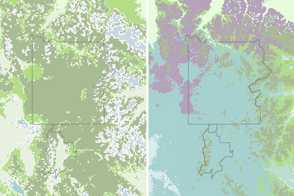
Climate change can make an area less suitable for some trees and plants and more suitable for others.
Published May 22, 2016
Climate change could lead to a net loss of plant life in some regions, and also could change the ratio of species that grow in them.
Published Oct 17, 2019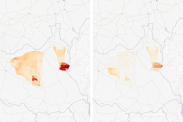
Researchers examined how human land use will affect species habitats around the world.
Published Jul 22, 2019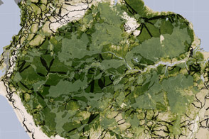
Researchers studying tropical forests have mapped out a way to preserve significant amounts of carbon-rich vegetation and biodiversity by connecting existing protected areas.
Published Apr 2, 2014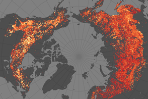
Research shows that very similar boreal landscapes produce very different types of fires.
Published Feb 4, 2015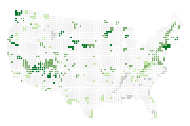
In National Parks across the United States, recent springs are among the earliest ever observed compared to the past 112 years.
Published Apr 6, 2018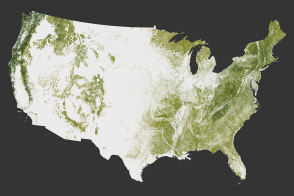
The National Biomass and Carbon Dataset reveals the location and the carbon storage of forests in the United States.
Published Jan 11, 2012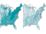
This series of maps shows how much the landscape of the eastern United States changed between 1650 and 1992. The maps depict canopy height, the height of the tallest continuous layer of vegetation.
Published Feb 2, 2008
Climate change is already affecting the American people in far-reaching ways, says a new climate report.
Published May 8, 2014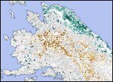
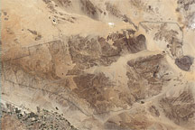
Three topographic and climatic zones converge in California’s Joshua Tree National Park, enriching the park’s biodiversity. The diverse terrain is shown in this Landsat image from May 28, 2003.
Published Jan 29, 2009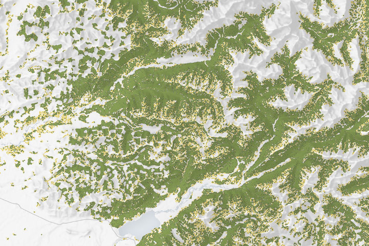
Maps of forest cover type show where the composition and structure of the forest is sufficient for the threatened species to nest and roost.
Published Dec 18, 2019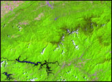
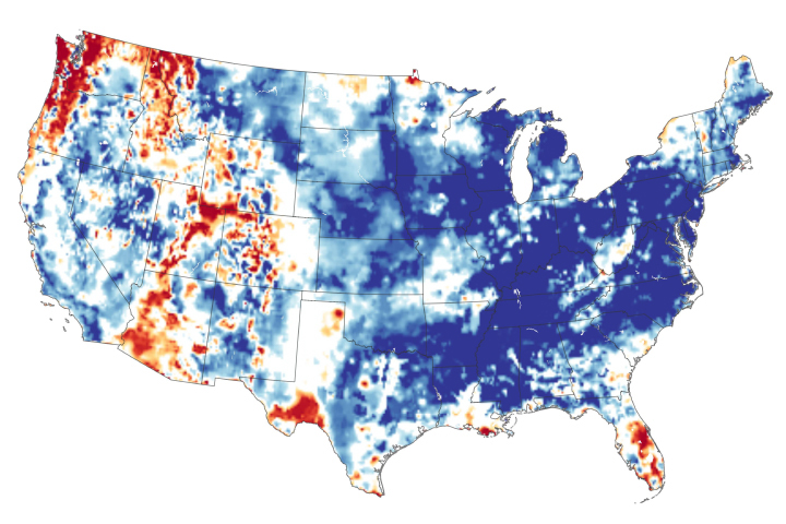
The continental United States recently finished its wettest twelve months in 124 years of modern recordkeeping.
Published May 24, 2019
Potent storms and pesky predators—as well as climate change—are altering the dynamics of these underwater forests.
Published Jan 20, 2015