Acquired on August 27, 1984, and August 22, 2011, these images document growth around Washington, DC.
Published Jul 5, 2012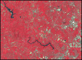
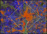
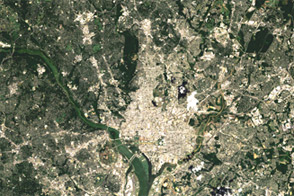
Wedged between Maryland and Virginia, the District of Columbia was established in 1790 to serve as the permanent seat of the U.S. federal government.
Published Jul 10, 2017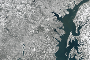
A severe winter storm coated the Mid-Atlantic of the United States with a thick blanket of snow.
Published Jan 24, 2016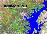
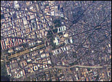
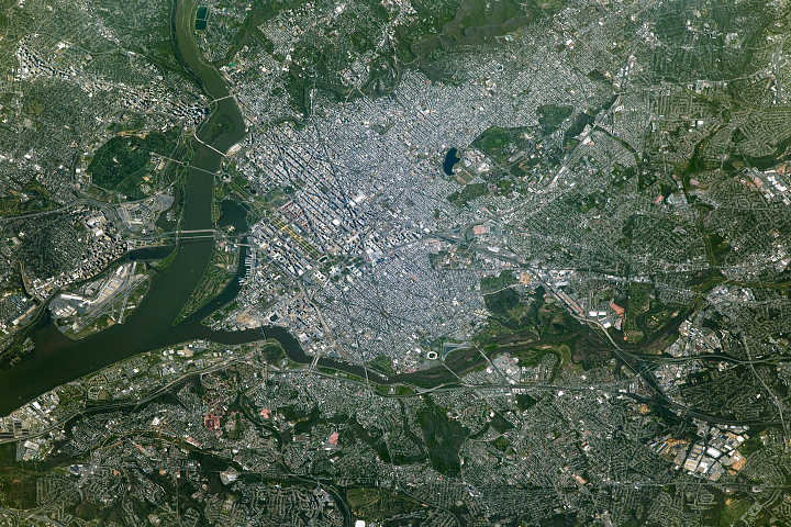
George Washington not only served as the namesake for the capital city of the United States, he also chose its location, perhaps envisioning the transportation possibilities that the Potomac River flowing past the site would provide. Recognizable in this image are the Capitol Building, the Washington Monument (and its shadow), and the Lincoln Memorial, along the northeast bank of the Potomac River.
Published May 22, 2006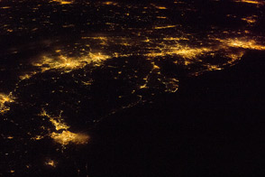
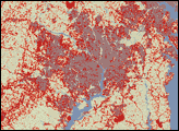
One of the largest conurbations in the world is located along East Coast of the United States, and stretches from Boston to Washington.
Published May 23, 2011