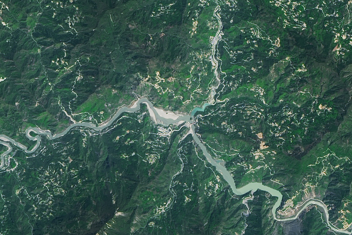
Erosion is causing the slow disappearance of a lake that formed after the 2008 Sichuan earthquake.
Published Sep 7, 2018

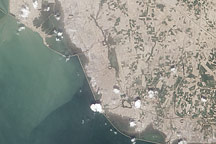
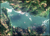
Acquired September 15, 2010, this natural-color image shows flooding along the northern and eastern margins of Pakistan’s Manchhar Lake.
Published Sep 17, 2010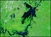

In May 2016, the reservoir behind Hoover Dam reached its lowest level since the 1930s.
Published May 27, 2016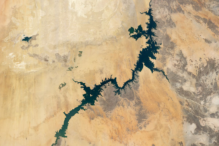
Irrigation from Lake Nasser, one of the world’s largest man-made lakes, has increased the amount of arable land and crop production in Egypt.
Published Jul 8, 2020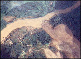
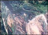
In the wake of the May 12, 2008, earthquake in China, a series of landslides blocked the Jiangjiang River, creating swollen reservoirs that threatened to break through and flood catastrophically. The largest of these lakes, Tangjiashan Lake, threatened roughly 1.3 million people.
Published Jun 11, 2008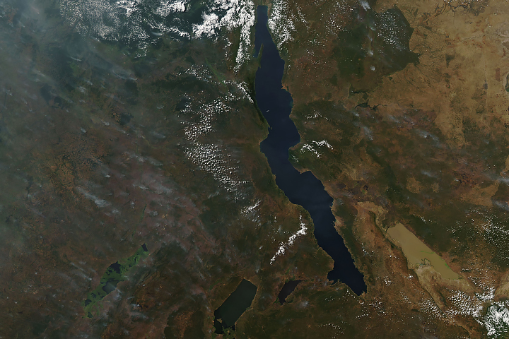
Long and short. Deep and shallow. Salty and fresh. Blue and brown. These are Africa’s Lake Tanganyika and Lake Rukwa.
Published Jun 20, 2019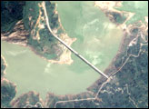
his true-color image, captured by Taiwan’s Formosat satellite on June 4, 2008, reveals changes to Zipingku Reservoir behind the dam in the wake of the 7.9-magnitude earthquake of May 12, 2008.
Published Jun 7, 2008
Ongoing drought and diminished snowpack in the Rockies have combined with increasing demands downstream to cause the great reservoir to drop to historically low levels.
Published Aug 1, 2014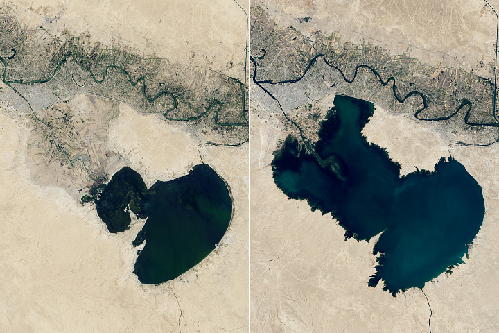
After decades of low water levels, two of Iraq’s popular lakes appear to be filling again.
Published Sep 26, 2020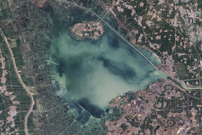
The fingerprints of human civilization are all over the lake in eastern China.
Published Jan 10, 2015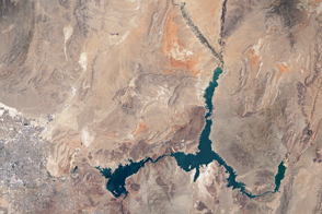
The water within a large, key reservoir in the southwestern United States has fallen to levels not seen since the 1930s.
Published Aug 18, 2015