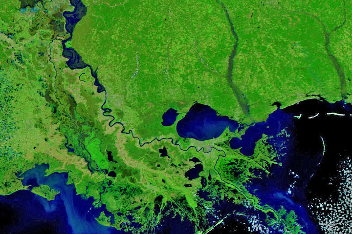
Persistent heavy rains in the first two months of 2020 have swelled rivers from Missouri to the Gulf of Mexico.
Published Feb 29, 2020Image of the Day Land Water Floods Severe Storms Human Presence Remote Sensing
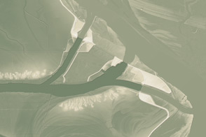
Much of the Lower Mississippi River was flooded in March.
Published Mar 20, 2019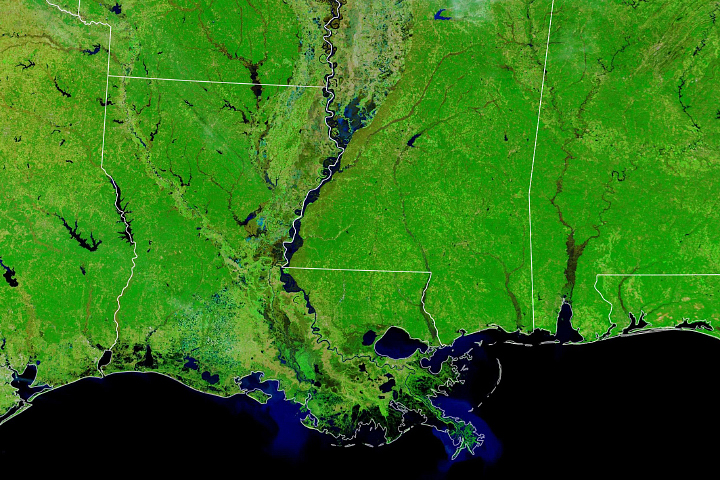
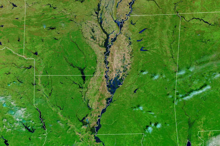
Persistent rains and saturated soils across the watershed swelled the river to its banks and occasionally onto floodplains.
Published Feb 4, 2020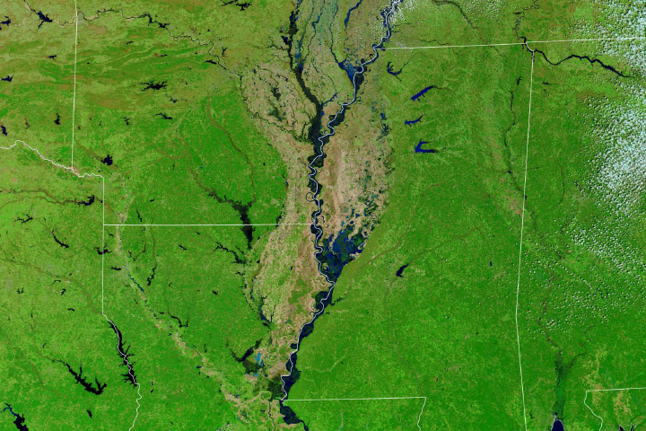
At least 200 gauges along the waterways of the Central United States reported some level of flooding.
Published Mar 23, 2019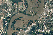
Acquired May 10, 2011, and April 21, 2010, these natural-color images show flooded and normal conditions along the Mississippi River in Memphis, Tennessee.
Published May 11, 2011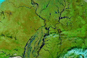
Parts of the Mississippi are swollen and spilling over its banks due to late December rains that are now flowing downstream.
Published Jan 5, 2016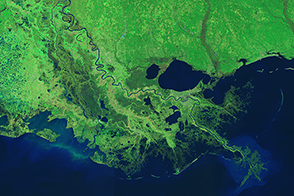
Engineers use levees, floodways, dams, and much more to control the ever restless Mississippi.
Published Mar 18, 2015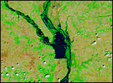
This model of the land elevation between the Mississippi, the Atchafalaya, and the Old River show the uphill fight to control river flow.
Published Jun 4, 2011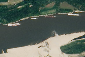
The drought of 2012 reduced traffic to one towboat at a time; groundings closed parts of the river for hours to days.
Published Aug 23, 2012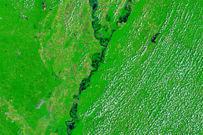
Acquired June 1, 2011, and May 28, 2010, these false-color images compare conditions along the Lower Mississippi River.
Published Jun 1, 2011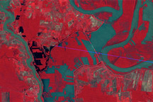
Observations by Landsat 1 from 1973 show the Morganza Floodway after its first and only opening in 57 years.
Published May 14, 2011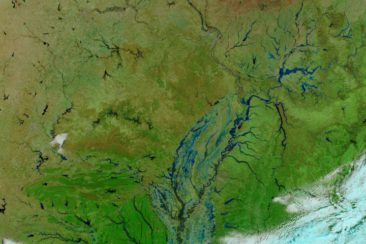
In late February 2018, heavy rains gave rise to damaging floods along the Ohio and Mississippi rivers.
Published Feb 27, 2018Image of the Day Land Water Floods Human Presence Remote Sensing

These false-color images compare conditions along the Mississippi and Yazoo Rivers around Vicksburg in June 2011, during heavy flooding, and three years earlier.
Published Jun 14, 2011
During the first half of 1993, the U.S. Midwest experienced unusually heavy rains. Much of the United States in the upper reaches of the Mississippi River drainage basin received more than 1.5 times their average rainfall in the first six months of the year, and parts of North Dakota, Iowa, and Kansas experienced more than double. The rains often arrived in very intense storms. Floods overwhelmed the elaborate system of dykes and other water control structures in the Mississippi River basin, leading to the greatest flood ever recorded on the Upper Mississippi. In St. Louis, the Mississippi remained above flood stage for 144 days between April 1 and September 30, 1993.
Published Apr 17, 2005