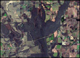
Meandering across a wide, relatively flat plain, the White River of Arkansas is no stranger to flooding. With regularity, spring rains push the river over its banks, inundating the flood-adapted forest that surrounds it. The river reached its fifth highest crest of 33.78 feet on April 19, 2008.
Published Apr 26, 2008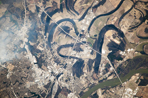
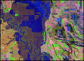
Near the city of Little Rock, the river has meandered for decades, leaving its marks across the landscape.
Published Apr 21, 2014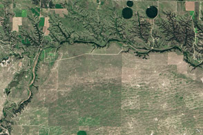
Cliffs, waterfalls, and a wide mix of vegetation line a river that winds through the Great Plains in Nebraska.
Published May 29, 2016
A satellite image offers inky evidence of the organic-rich freshwater that the Suwannee River delivers to the Gulf of Mexico.
Published Oct 27, 2018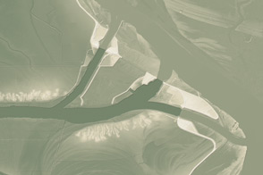
This model of the land elevation between the Mississippi, the Atchafalaya, and the Old River show the uphill fight to control river flow.
Published Jun 4, 2011
In the past few centuries, a river in northwestern Canada stopped wandering and assumed a more direct route to the sea.
Published Sep 4, 2012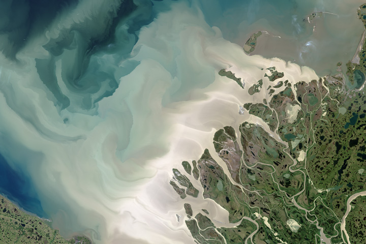
Canada’s largest and longest river delivers vast amounts of fresh water and sediment to the sea.
Published Aug 6, 2017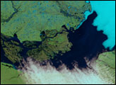

As they prepare for a satellite that will measure the height and areal extent of rivers in unprecedented detail, hydrologists have released a better map of North American river widths.
Published Jul 9, 2015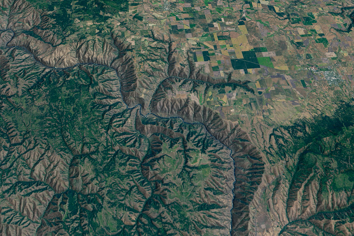
The Salmon River in Idaho, one of the longest free-flowing rivers in the United States, rushes through a geologic wonderland of wooded ridges, eroded bluffs, and stone towers and crags.
Published Jul 22, 2020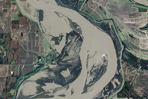
Flooding in early 2016 affected communities along the length of the Mississippi River; here is the view near Arkansas City.
Published Jan 15, 2016
The wandering river is a boon to farming, but it has no interest in state borders.
Published Jul 19, 2020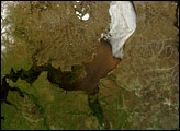
Russia’s Ob River flows from south to north, and each summer, it thaws in the same direction. The result is that an ice jam sits downstream from thawed portions of the river, which is laden with heavy runoff from melted snow.
Published Jul 11, 2007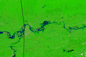
Record-setting rain has sent rivers over the banks in Arkansas, Oklahoma, and Texas.
Published May 28, 2015
Floods and new infrastructure have long since separated the distinctive bend in the river that was portrayed by landscape painter Thomas Cole in 1836.
Published Oct 15, 2017
Acquired April 2, 2011, and February 27, 2011, these natural-color images show rising waters on the Kuiseb River, which flowed all the way to the Atlantic Ocean for the first time in decades.
Published Apr 12, 2011