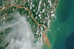
Contaminated water has turned the Rio Doce orange-brown as it flows into the Atlantic Ocean.
Published Dec 3, 2015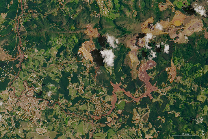
A torrent of waste sludge from an iron mine has devastated a small town in Minas Gerais.
Published Feb 1, 2019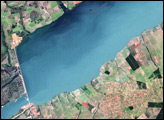
Brazil’s Porto Primavera Dam sits on the Paraná River, 28 kilometers (17 miles) upstream from the confluence of the Paranapanema and Paraná Rivers. Constructed to provide hydroelectricity, this dam created the Porto Primavera Reservoir
Published Apr 27, 2008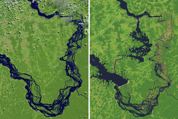
Construction of the Belo Monte Dam has transformed a major tributary of the Amazon River in northern Brazil.
Published Oct 6, 2017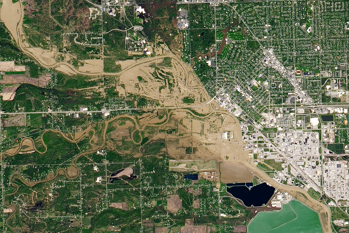
Two days of heavy rain led to catastrophic dam failures and major flooding in Midland County.
Published May 21, 2020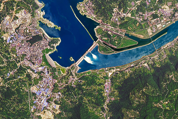
As water levels rise from excessive monsoon rainfall, dam operators discharge water through spillway gates.
Published Jul 24, 2020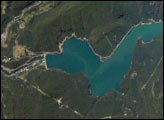
Chile’s Bíobío River flows northwestward from the high Cordillera of the Andes to the Pacific Ocean near Concepción, about 450 kilometers south of Santiago. The river is known globally for spectacular white-water rafting. This image shows a section of the river that skirts around Callaqui volcano in the Andes, and features the Pangue Dam and reservoir filling a narrow, meandering segment of the Bíobío River valley. Completed in 1996, the dam is the first of six hydroelectric dams planned by ENDESA, a Chilean utility company. The future development of the Bíobío River is a point of intense debate among Chileans, and has been called Chile’s “defining environmental issue.”
Published Feb 16, 2004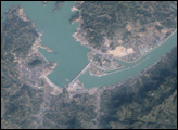
The longest river in Asia, the Yangtze River brings mixed blessings to China. Although it meets the water needs of millions of people, the river regularly overflows its banks. To protect residents and land in the lower Yangtze floodplains, China began construction on the Three Gorges Dam in 1994.
Published Jun 13, 2007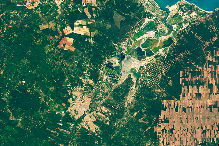
The signs of economic activity around this Brazilian city are easy to see from space.
Published Jan 4, 2020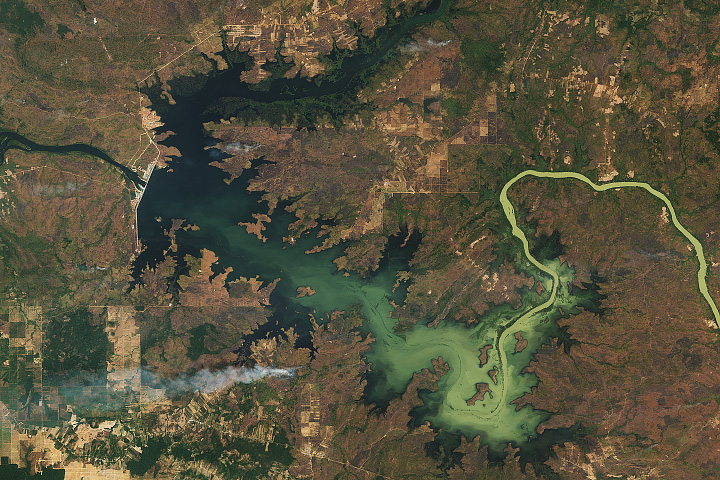
People from several villages had to relocate to make way for a new dam that will give the country’s supply of electricity a boost.
Published Feb 24, 2018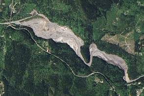
Acquired August 10, 2004, and May 12, 2012, these images show big changes along the Elwha River thanks to the largest dam removal in U.S. history.
Published Aug 25, 2012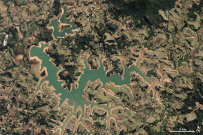
Water supplies are near historically low levels in southeastern Brazil.
Published Oct 23, 2014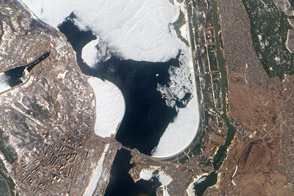
Authorities keeps a watchful eye on ice near a key dam on the Kyiv Reservoir.
Published Mar 31, 2012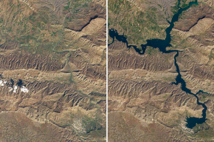
The 12,000-year old town of Hasankeyf could soon be underwater due to the construction of a new dam.
Published Mar 17, 2020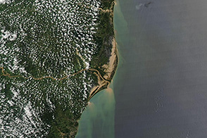
Floods spread across scores of kilometers in this image of the state of Espirito Santo from December 30, 2013.
Published Dec 31, 2013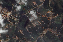
The Advanced Land Imager on EO-1 captured these true-color images of the hills north and west of Teresópolis, Brazil, where mudslides devastated the mountainous region in January 2011.
Published Feb 5, 2011
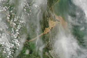
A plume of muddy sediment appears along the coast of southeastern Brazil in early January 2012, following days of heavy rains.
Published Jan 6, 2012