By analyzing satellite images of sediments, coastal researchers and cartographers can identify potential shallows, shoals, and shipping hazards.
Published Sep 17, 2015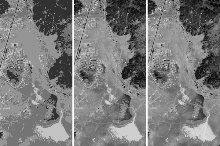
Being able to see traces of human history in satellite imagery is dependent on what details can be resolved on a given image. There are four main types of image resolution.
Published Oct 4, 2017
A composite view of the United States represents one of the ways scientists are exploring Landsat 8’s capabilities.
Published Feb 11, 2014
When the Landsat archive is combined with modern computing power, scientists can view the planet not just across space, but also time.
Published Jun 11, 2013Image of the Day Land Unique Imagery Human Presence Remote Sensing

50 trillion pixels of Landsat data give researchers a lot of opportunities to look at Earth processes on scales from days to decades.
Published Apr 16, 2015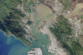
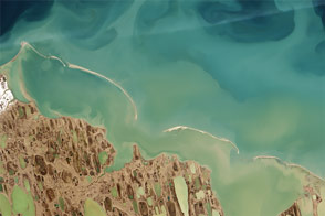
Landsat 8 can observe wavelengths of blue light that will make it easier to observe the swirl of life and water along the world’s coastlines.
Published May 31, 2013
LDCM extends an unprecedented four-decade record of global land observations.
Published Feb 12, 2013
What does Landsat have in common with the Gutenberg Bible, Tolstoy’s personal library, and the Book of Kells?
Published Nov 24, 2011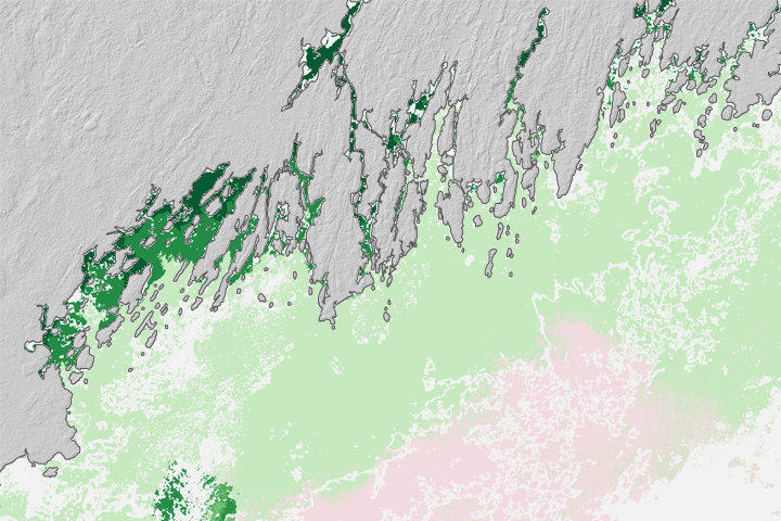
Finding promising aquaculture sites can be a challenge. Now seafood farmers may be getting some help from above.
Published Aug 25, 2017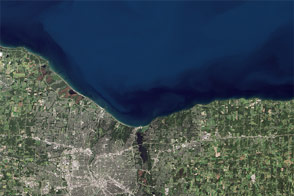
Like an interesting novel, Landsat 8 provides a good read for a day along the shore.
Published Aug 22, 2014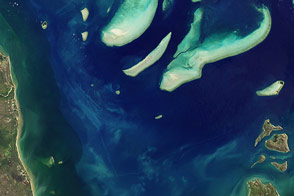
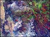
Landsat 8 takes a look at Princess Charlotte Bay, Australia, where reefs, river plumes, and sandy islands test the satellite's ability to observe the intersection of land and sea.
Published Jun 16, 2013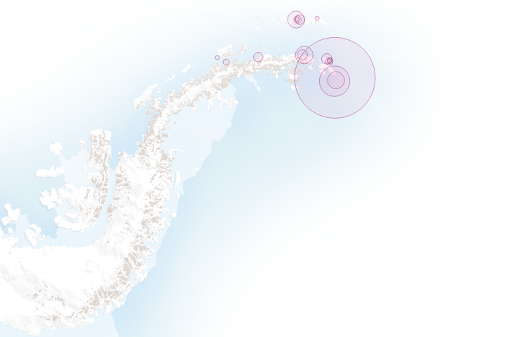
How scientists are discovering colonies in remote parts of Antarctica by searching satellite images for guano stains.
Published Jun 13, 2017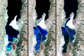
The lake between Israel and Jordan provides a bounty of salt and of history.
Published Apr 6, 2012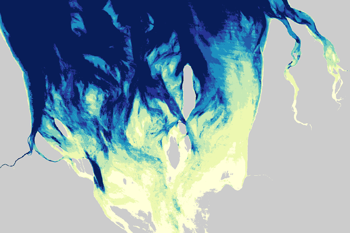
A new technique allowed Australian Scientists to map the intertidal zone around their entire coast.
Published Jun 16, 2017