A sharp bend in the Yukon River triggered a pile-up of ice that sent water spilling into a nearby town.
Published May 30, 2013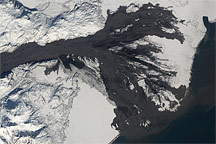
Lahars from Alaska’s Mt. Redoubt Volcano pass close to the Drift River Oil Terminal in an image acquired on April 4, 2009.
Published Apr 9, 2009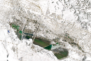
A layer of snow made the infrastructure at this oil field in western Kazakhstan stand out as if in three dimensions.
Published Apr 23, 2017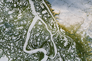
In Canada’s Northwest Territories, bitter cold turns waterways into roads.
Published Mar 19, 2017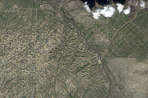
Among the most productive oil fields in the United States, Elk Hills Oil Field in California presents a complicated surface in this image from March 7, 2009.
Published Apr 12, 2009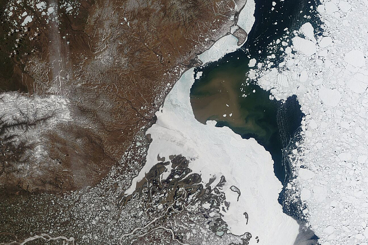
Each spring, the Canadian Arctic is the site of a fierce battle between water and ice.
Published Jun 8, 2020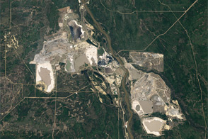
The clay, sand, and other minerals coated in thick, viscous bitumen are a source of oil, economic growth, and environmental concern.
Published Nov 30, 2011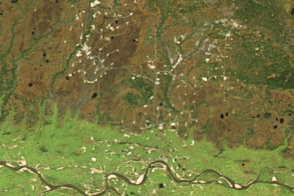
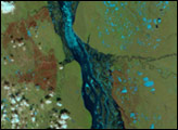
Swampy areas in the West Siberian Basin are some of Russia’s most important sources of crude oil and natural gas.
Published Oct 18, 2016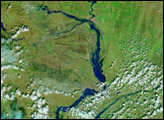
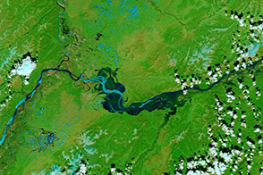
In the span of three weeks, spring crept over the Siberian landscape surrounding the northern half of the Lena River. Many of the rivers in Earth’s temperate zones run high in the spring when melting snow and spring rain flood river basins. On the Lena River, however, spring flooding is almost inevitable for another reason: ice. Like other north-flowing rivers, the upper reaches of the Lena melt before their downstream counterparts. Because the northern mouth of the river remains frozen while the southern body of the river flows freely, water naturally builds behind the ice, forming a temporary reservoir that drains as the ice dwindles.
Published Jun 2, 2007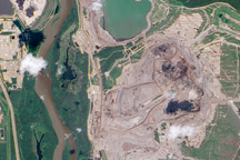
Earthy open-pit mines and tailings ponds line the Athabasca River where it flows through the world’s largest field of oil sands.
Published Nov 5, 2009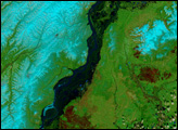
Alaska gradually thawed over the month of May as spring’s warmth crept north. The melting snow and thawing ice filled the Yukon River until it bulged over its banks with runoff.
Published Jun 9, 2006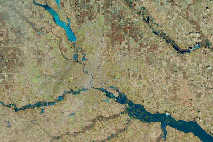
Ice chunks can exacerbate spring floods by blocking rivers and plowing into homes and infrastructure.
Published Mar 19, 2019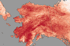
In January 2014, record-breaking heat left Alaskans dealing with unseasonable bouts of rain and avalanches.
Published Feb 4, 2014