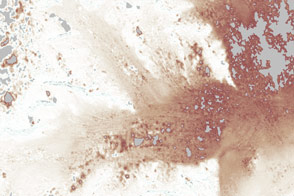
Since the dramatic disintegration of the Larsen-B ice shelf in 2002, thinning and ice loss from nearby tributary glaciers has continued unabated.
Published Oct 25, 2012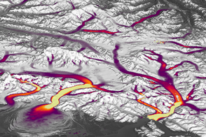
Better Landsat imaging and creative use of software is allowing scientists to map details of changing glaciers and ice sheets.
Published Dec 14, 2016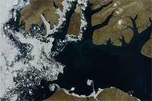
Acquired August 17, 2010, this natural-color image shows a mostly clear McClure Strait, except for some sea ice west of Prince Patrick Island.
Published Aug 18, 2010
More than 30 years of ice velocity data are helping scientists tease out how mountain glaciers respond to climate change.
Published Sep 11, 2019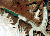
Penny Ice Cap is the southernmost of Canada’s big ice caps. Like other glaciers and ice caps in the Northern Hemisphere, the Penny has been thinning and its valley glaciers have been retreating in recent decades.
Published Sep 18, 2008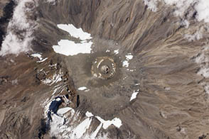
A recent expedition revealed a new rift in Kilimanjaro’s northern ice field.
Published Nov 8, 2012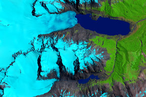
Ice loss in Patagonia has struck more than just the largest and most frequently studied ice fields.
Published Feb 23, 2016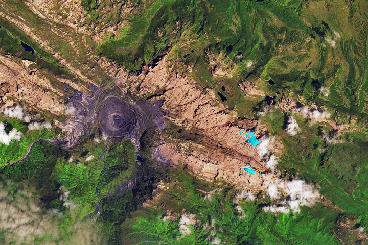
Though the mountains are located just south of the equator, their elevation is high enough and the air temperatures are cold enough to still support a few small areas of ice.
Published Feb 14, 2018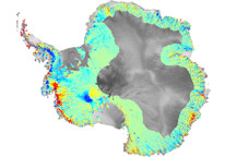
To understand how fast-moving glaciers are changing the ice sheets, scientists devised a method to map elevation change using data from ICESat.
Published Oct 3, 2009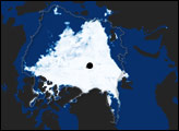

Rare tropical glaciers in Indonesia are losing ice fast and could disappear entirely within decades. Researchers want to know why.
Published Sep 1, 2012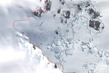
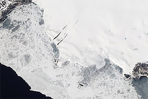
This image shows the latest estimate of the ice edge around Law Promontory, which juts out from East Antarctica’s coastline near Stefansson Bay.
Published Jul 23, 2010
By 2090, the scale could tilt in the favor of ice loss instead of buildup.
Published Jan 31, 2017Image of the Day Heat Human Presence Snow and Ice Remote Sensing
Acquired June 5, 2011, this natural-color image shows Roze Glacier on the coast of Novaya Zemlya, Russia.
Published Sep 18, 2011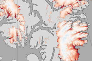
These color-coded maps show ice mass changes in the northern Canadian Arctic Archipelago from 2004 to 2009.
Published Jun 1, 2011