In spite of its clear significance to the planet, the expansive region is a complex and challenging place for remote sensing scientists to study.
Published Sep 26, 2019
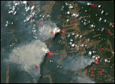
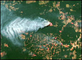
In 2007, the Amazon fire season was the worst of this decade. This pair of images shows deforestation and the smoke from intense fires in the 2007 dry season in northwest Rondônia, Brazil.
Published May 28, 2009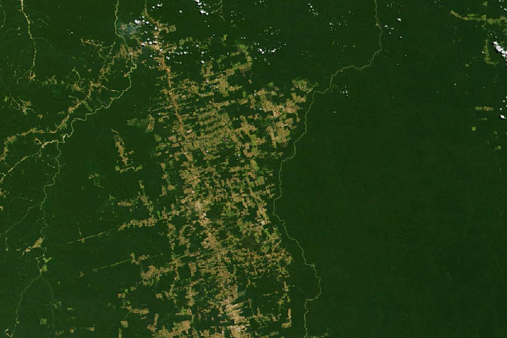
Decades of satellite data make it possible to map how deforestation has evolved over time.
Published Nov 21, 2019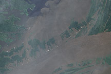
In June 2009, the waters of the Amazon surrounded the villages near its confluence with the Negro River, seeping into the cleared land and filling what had been pale green angular shapes with murky brown water.
Published Jul 17, 2009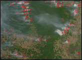
The Amazon Rainforest of South America is rapidly falling as people colonize and develop a new frontier. Where there was once no such thing as an “Amazon fire season,” fires are now widespread in the dry season as people clear forest or manage already cleared plots of crop or grazing land.
Published Aug 16, 2007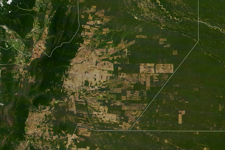
South America’s second-largest forest has been experiencing rapid tree losses in recent decades.
Published May 20, 2020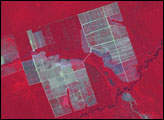
Although forest clearing for pasture is the primary driver of Amazon deforestation in the state of Mato Grosso, Brazil, a new study led by scientists at the University of Maryland showed that large-scale mechanized agriculture, mostly for soybeans, is rapidly becoming a major force behind forest loss in the region.
Published Sep 21, 2006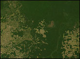
In 2005, the government of Brazil said that 48 percent of Amazon deforestation that took place in 2003 and 2004 occurred in Mato Grosso.
Published Aug 5, 2006