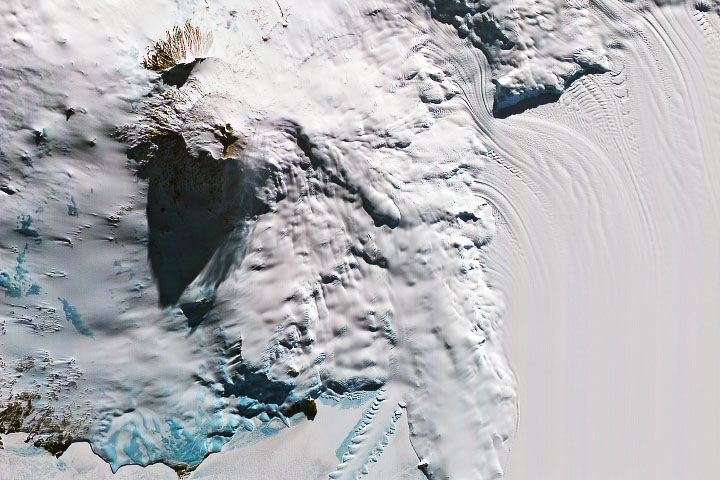
The low Sun angle illuminated the eastern slopes of the Antarctic volcano, casting a long shadow to the west.
Published Dec 10, 2019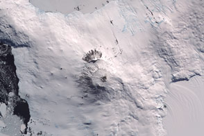
The southernmost active volcano in the world has a molten lava lake at its core.
Published Feb 5, 2016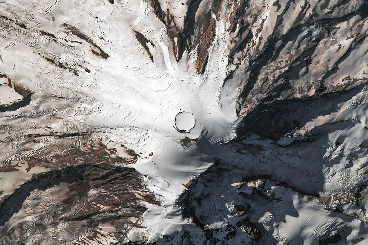
The tallest mountain of the Cascade Range is a Pacific Northwest icon.
Published Sep 4, 2019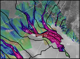
The image above depicts the region of West Antarctica where scientists measured ice speed. The fast-moving central ice streams are shown in red. Slower tributaries feeding the ice streams are shown in blue. Green areas depict slow-moving, stable areas. Thick black lines depict the areas that collect snowfall to feed their respective ice streams.
Published Jan 25, 2002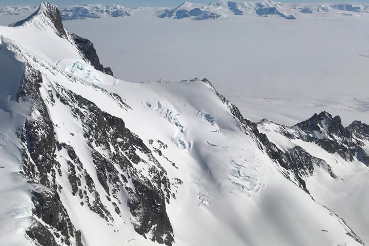
Approaching the icy continent by aircraft, the vast expanse of water and ice is suddenly broken by gray and brown rocky mountaintops
Published Dec 28, 2017
Researchers working in Antarctica have found evidence of large-scale ice making at the bottom of that continent's massive ice sheets.
Published Apr 21, 2011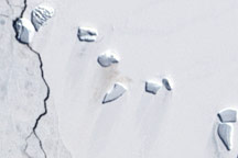
A guano stain betrays the location of an emperor penguin colony on Antarctic ice in this Landsat image from December 4, 2002.
Published Jun 5, 2009
In early November 2008, a volcano erupted in the Erta Ale Range in northeastern Ethiopia.
Published Nov 6, 2008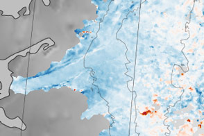
Sections of the Greenland Ice Sheet that end on land are slowing—a sliver of good news for sea level rise.
Published Oct 30, 2015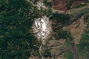
Towering over the surrounding mountains, Oregon’s second-tallest peak poses a challenge for climbers and satellites.
Published Nov 17, 2013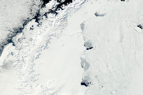
The MODIS instrument on NASA’s Aqua satellite captured this clear view of the Antarctic Peninsula, the Larsen Ice Shelf, and the sea ice covered waters around the region in October 2011.
Published Oct 15, 2011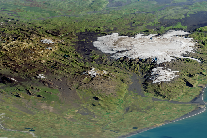
An unusual type of lava erupted beneath ice to form many of the otherworldly geological features within Torfajökull.
Published Mar 16, 2018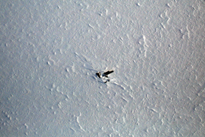
A World War II era airplane has become a visual waypoint for researchers flying on the IceBridge polar mapping missions.
Published Jun 1, 2014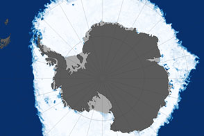
This map shows sea ice extent around Antarctica on September 22, 2013, when ice covered more of the Southern Ocean than at any other time in the satellite record.
Published Oct 1, 2013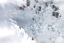
This image shows the latest estimate of the ice edge around Law Promontory, which juts out from East Antarctica’s coastline near Stefansson Bay.
Published Jul 23, 2010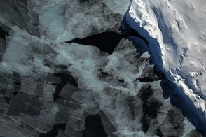
A spectacular view of sea ice was captured during an Operation IceBridge flight in 2014; the mission surveyed ice at both poles again in 2015, this time simultaneously.
Published Oct 4, 2015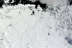
Winds pushed Antarctic sea ice north of its typical location in February 2013.
Published Mar 1, 2013