Potent storms and pesky predators—as well as climate change—are altering the dynamics of these underwater forests.
Published Jan 20, 2015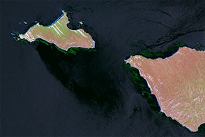
Kelp forests change frequently, and often out of sight from scientists. Infrared imagery changes that.
Published Jan 6, 2015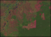

50 trillion pixels of Landsat data give researchers a lot of opportunities to look at Earth processes on scales from days to decades.
Published Apr 16, 2015
What does Landsat have in common with the Gutenberg Bible, Tolstoy’s personal library, and the Book of Kells?
Published Nov 24, 2011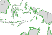
Mangroves are among the most biologically important ecosystems on the planet and a common feature of tropical and sub-tropical coastlines. Scientists have used satellite imaging to compile the most detailed map of the extent of mangroves worldwide.
Published Nov 30, 2010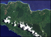
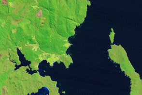
In June 2008, scientists published the country’s first detailed assessment of the type, extent, and health of Papua New Guinea’s forests, documenting the wide-spread deforestation and degradation of lowland rainforest on the islands east of the mainland, including the island of New Ireland.
Published Jun 19, 2008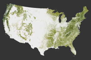
The National Biomass and Carbon Dataset reveals the location and the carbon storage of forests in the United States.
Published Jan 11, 2012
When the Landsat archive is combined with modern computing power, scientists can view the planet not just across space, but also time.
Published Jun 11, 2013Image of the Day Land Unique Imagery Human Presence Remote Sensing
A small plane flying low over remote forests is sending back eye-popping aerial photography—as well as scientific measurements that will improve understanding of how Alaska’s forests are responding to global warming.
Published Jul 25, 2014
Forests in drylands are much more extensive than previously reported.
Published Aug 10, 2017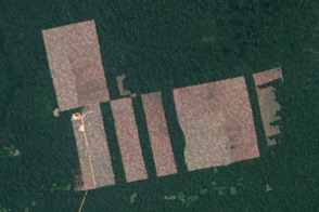
Free, open-access imagery helps scientists monitor remote areas and protect tropical forests.
Published Nov 19, 2013
A composite view of the United States represents one of the ways scientists are exploring Landsat 8’s capabilities.
Published Feb 11, 2014