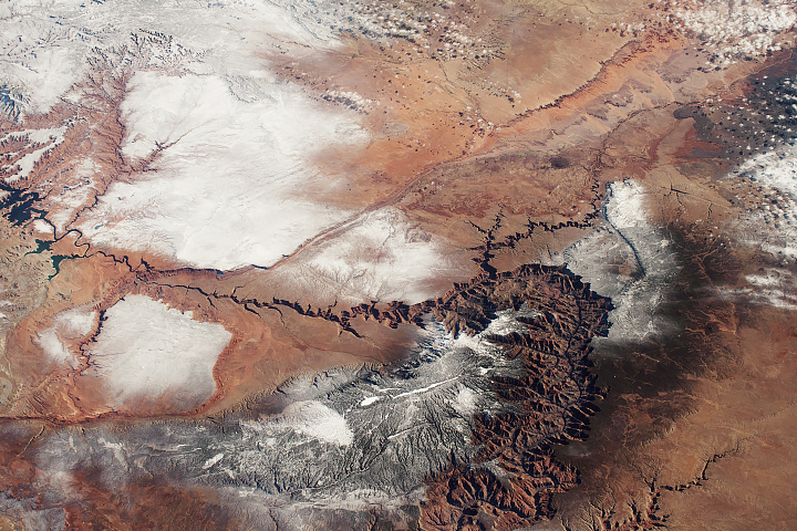
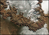
The Grand Canyon is one of the best known natural wonders on Earth, but astronauts see very different patterns compared with the iconic ground-based views.
Published Mar 10, 2019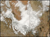
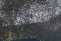
After four months without precipitation, a winter storm slammed Arizona on March 11, 2006, covering the parched land with widespread snow and record rain.
Published Mar 15, 2006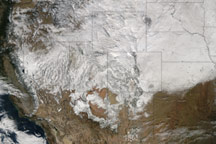
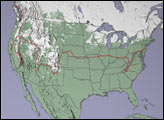
Acquired December 9, 2009, this image combines observations from Terra and Aqua to show snow cover across the western and central United States.
Published Dec 10, 2009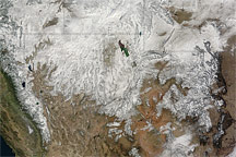
A storm system passing over the north-western United States left a trail of heavy snow as it passed, bringing many a white Thanksgiving Day.
Published Nov 26, 2010
This satellite map of snow cover shows that every state in the contiguous U.S., except for Florida, received snow in January 2011.
Published Feb 25, 2011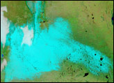
For the first time since 1918, snow fell in Buenos Aires, Argentina, late on July 9, 2007. The snow was still there the next morning when the Moderate Resolution Imaging Spectroradiometer (MODIS) flew over on NASA’s Terra satellite at 10:55 a.m. local time.
Published Jul 11, 2007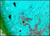
A swath of snow stretches from Mississippi, across Alabama, and into Georgia in this photo-like satellite image from February 13, 2010.
Published Feb 15, 2010