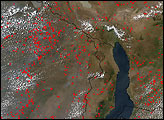
In a unique ecosystem with several rare and endangered species, grazing and fires are altering the landscape.
Published Feb 27, 2018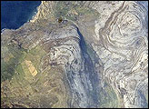
Adjoining Galway Bay to the north, the Burren Plateau (Burren is Gaelic for “stony place”) is an example of karst terrain. Karst terrain is generally formed when sedimentary rocks are dissolved by groundwater. This astronaut photograph illustrates the northwestern-most portion of the Burren Plateau, which is characterized by the distinctive bare exposures of almost horizontal, layered Paleozoic-age limestone rocks that form Gleninagh Mountain.
Published May 5, 2008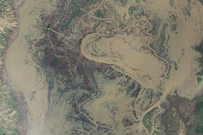
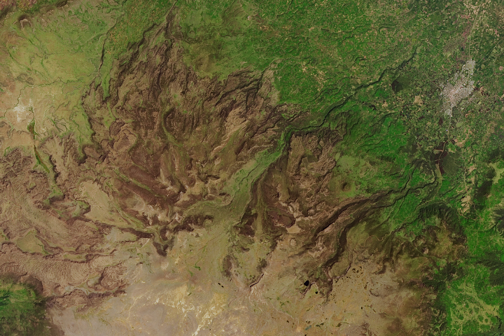
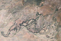
Heavy rains in southern Africa caused severe flooding along the Shire River in January 2015.
Published Jan 29, 2015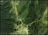
Porcupine Gorge and other sandstone canyons carving through a basalt plateau create dramatic topography in central Queensland.
Published Jan 18, 2009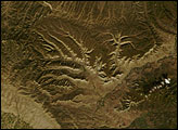
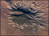
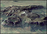
The Colorado Plateau of Arizona, Colorado, New Mexico, and Utah is made of mostly flat-lying layers of sedimentary rock that record paleoclimate extremes ranging from oceans to widespread deserts over the last 1.8 billion years. Navajo Mountain in southeastern Utah is a dome-shaped chunk of igneous rock that intruded into the sedimentary layers and lifted up the overlying layer. Navajo Mountain is one of several of these rock formations, called laccolith by geologists, in southeastern Utah’s portion of the Plateau. This oblique (from-the-side) astronaut photograph highlights Navajo Mountain in the center of the image, surrounded by light red-brown Navajo Sandstone (also visible in the canyon at bottom of the image). The igneous rock at the core of the mountain is wrapped in sedimentary layers. The peak of Navajo Mountain, at approximately 3,148 meters (10,388 feet) elevation, is comprised of uplifted Dakota Sandstone deposited during the Cretaceous Period (approximately 66-138 million years ago).
Published Oct 31, 2005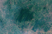
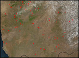
In 2005, researchers at the Royal Botanic Gardens, Kew stumbled upon secret: a little-known forest in northern Mozambique.
Published Jan 11, 2009