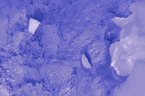
Thermal infrared imagery shows the ice island—which calved off of Pine Island Glacier—after winter darkness has set in.
Published May 15, 2014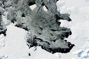
Over the course of five months in Antarctic spring and summer, NASA’s Terra and Aqua satellites captured a series of images of ice island B31.
Published Apr 18, 2014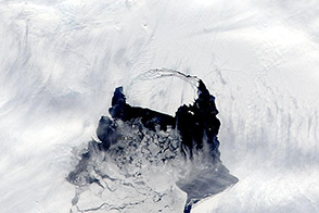
The rift in the glacier is now completely open, and a large iceberg is moving out into Pine Island Bay.
Published Nov 14, 2013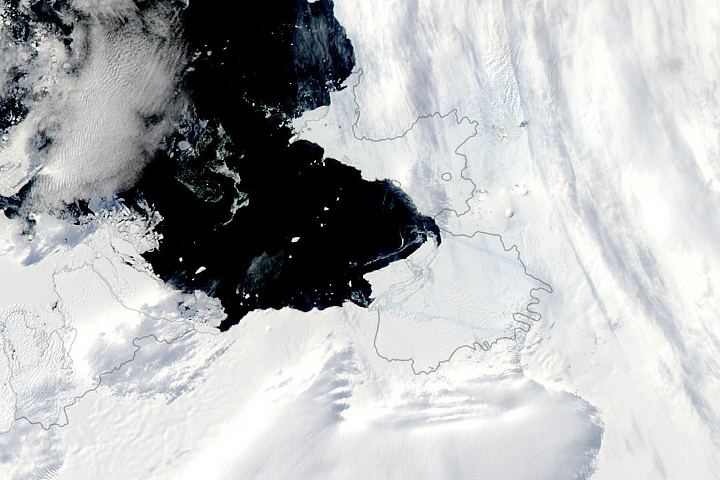
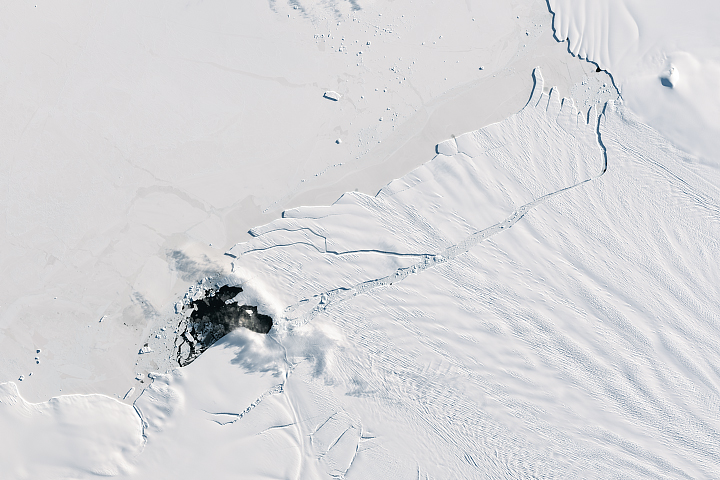
Cracks that spread across the floating ice for months have finally spawned new icebergs.
Published Feb 11, 2020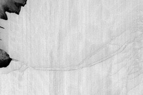
Thermal infrared imagery spots the cracks and a new ice island through the dark of the Antarctic winter night.
Published Jul 28, 2013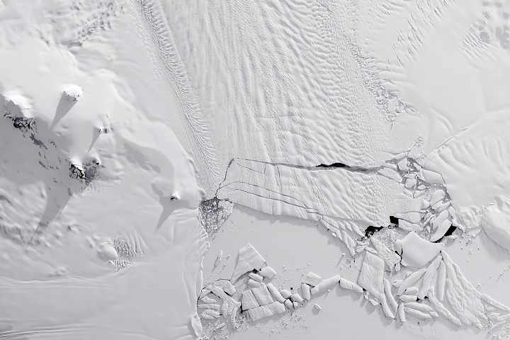
Calving that used to happen about every six years has become a near-annual event.
Published Nov 8, 2018Image of the Day Snow and Ice Remote Sensing Sea and Lake Ice
The 185-square-kilometer hunk of ice is afloat in the Amundsen Sea, off the coast of West Antarctica.
Published Oct 3, 2017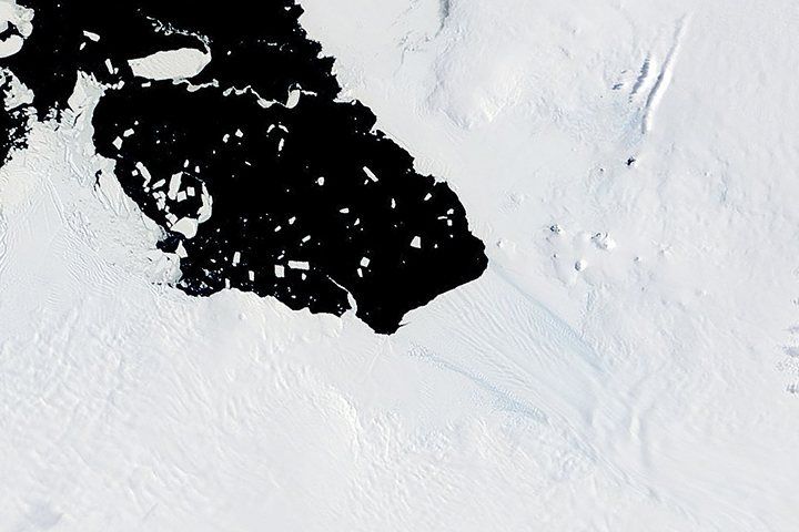
As this Antarctic glacier sheds huge icebergs more frequently, scientists are closely monitoring the retreat.
Published May 13, 2019
The floating part of Antarctica’s Pine Island Glacier released a new, 185-square-kilometer iceberg.
Published Sep 26, 2017
Acquired on the afternoon of August 22, 2011, this natural-color image shows the Petermann Ice Island-A split in two off the Newfoundland coast.
Published Aug 23, 2011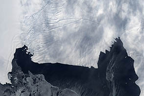
As spring clears out sea ice from Pine Island Bay, the birth of a massive new iceberg may be more likely.
Published Nov 24, 2012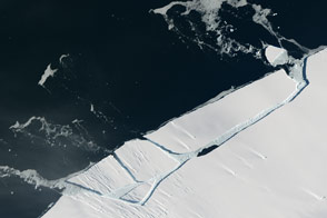
Pine Island Glacier has shed another block of ice into Antarctic waters.
Published Feb 15, 2017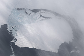
Landsat 8 captures a view of the ice separating from the ice shelf.
Published Nov 15, 2013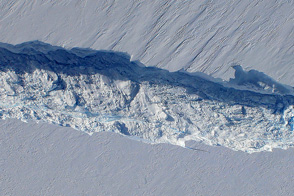
In a routine survey of Antarctica’s Pine Island Glacier, NASA scientists discovered a large crack in the ice which will soon lead to the birth of a new giant iceberg.
Published Nov 3, 2011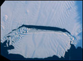
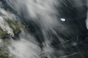
A massive ice island is lingering off the coast of Labrador, Canada, after an 11-month journey from the Petermann Glacier in Greenland.
Published Jul 2, 2011