After advancing through forest for months, the June 27th lava has started to damage residential properties in Pahoa.
Published Oct 28, 2014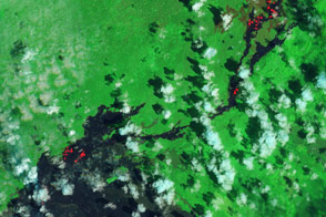
For several months, residents of the Hawaiian town of Pahoa have been watching the June 27 lava flow warily.
Published Mar 8, 2015
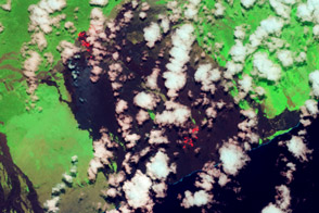
The most recent flow is pushing northeast into ohia lehua forests in Hawaii’s interior.
Published Apr 11, 2014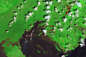
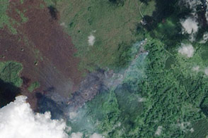
Landsat 8 captured these images of lava moving through forests in Hawaii on September 24, 2014.
Published Oct 1, 2014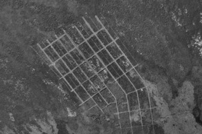
Lava from Kilauea Volcano chipped away at the doomed Royal Gardens subdivision for decades. Now more than 75 homes are gone.
Published Jan 26, 2013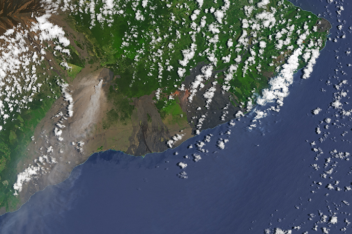
New fissures emerged near Leilani Estates.
Published May 17, 2018Image of the Day Land Volcanoes Human Presence Remote Sensing
Two active lave flows: the Kahaulae’a 2 flow and the Peace Day flow, extend north and south from Kilauea’s Pu’u O’o.
Published Jul 9, 2013
Kilauea erupted enough lava to fill 45,000 Olympic-sized swimming pools.
Published Jun 12, 2018Image of the Day Land Water Volcanoes Human Presence Remote Sensing
This false-color image shows activity at Kilauea on May 21, 2009, including fresh lava flows, volcanic plumes, and areas of scorching temperatures.
Published May 22, 2009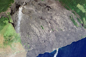
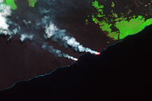
Molten rock meets the sea in the latest episode in a long-lived eruption.
Published Nov 20, 2016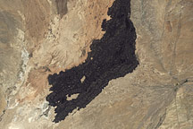
In south-central New Mexico, a charcoal-brown scar undulates across the arid landscape.
Published Jul 26, 2009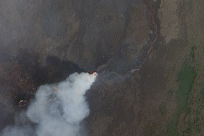
Satellite views show exposed lava and hot spots in Congo.
Published Jan 5, 2012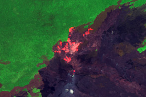
Volcanic Activity in Kilauea’s East Rift Zone is concentrated in the Kahauale’a 2 lava flow.
Published Sep 9, 2013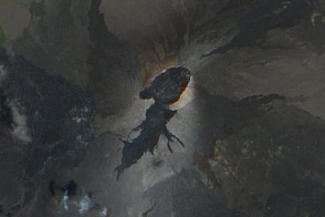
Satellite view of fresh lava flows from recent activity at Kilaue’s Pu’u O’o Crater.
Published Sep 9, 2011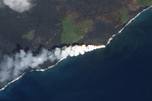
Lava from Kilauea Volcano flows into the ocean near Kalapana, Hawaii.
Published Oct 5, 2010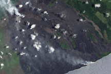
Relatively clear skies allow a view of plumes from Kilauea on May 24, 2009.
Published May 27, 2009