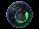
From space, the aurora is a crown of light that circles each of Earth’s poles. The IMAGE satellite captured this view of the aurora australis four days after a record-setting solar flare sent plasma flying towards the Earth.
Published Jan 25, 2006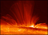
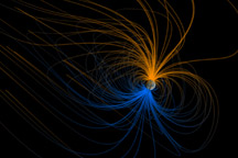
Earth is a great magnet, and scientists have spent a century exploring its shape and structure. This visualization shows the magnetic field around Earth, or magnetosphere.
Published Apr 23, 2011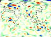
The colors and altitude are often the same, but the atmospheric processes are different.
Published Aug 16, 2020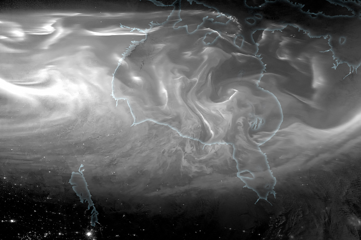
A stunning aurora appeared over Hudson Bay in March, historically the most geomagnetically active month.
Published Mar 29, 2019
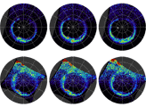
The first image released from the Gravity Recovery and Climate Experiment (GRACE), a joint NASA-German Aerospace Center mission, graphically illustrates the sensitivity of the mission’s twin spacecraft to changes in Earth’s gravity
Published Dec 11, 2002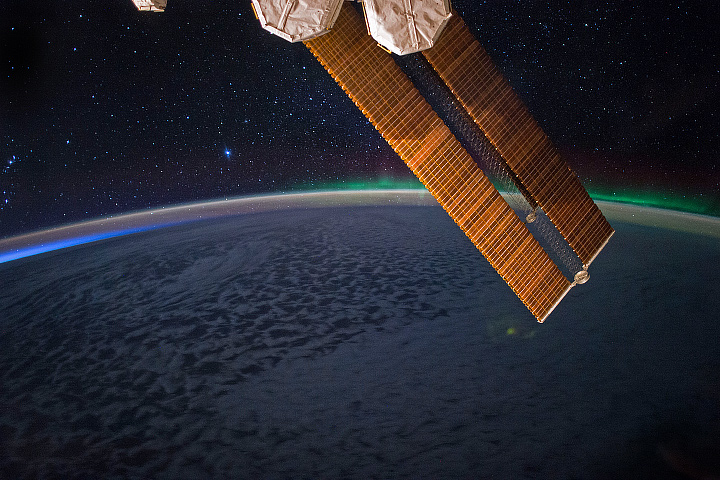
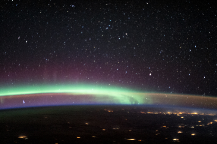
An astronaut caught a glimpse of the aurora australis while looking out across the Indian Ocean.
Published Jul 2, 2017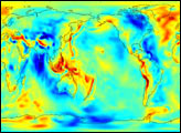
The Gravity Recovery and Climate Experiment (GRACE) has released its first science product: the most accurate map yet of Earth’s gravity field.
Published Jul 30, 2003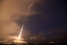
Photographers captured these digital photos of a four-stage Black Brant XII sounding rocket and the aurora borealis on December 12, 2010, during the NASA-funded Rocket Experiment for Neutral Upwelling (RENU).
Published Jan 4, 2011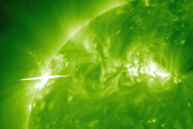
This ultraviolet image, captured by NASA’s Solar Terrestrial Relations Observatory (STEREO) Ahead spacecraft on February 12, 2010, shows solar storms brewing in two active areas of the Sun.
Published Mar 20, 2010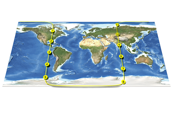
Twin satellites detect tiny changes in Earth’s gravity field, which can tell us a lot about the mass of a mountain range and the movement of the ice on top of it.
Published Nov 15, 2018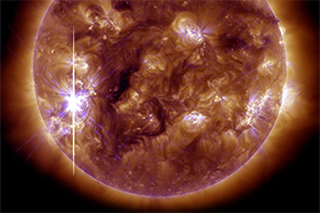
After months of quiet, the Sun burst in to activity in late October and early November 2013.
Published Nov 7, 2013