TRMM reveals that although Bill did not yet have an eye or eyewall, it did have a well-developed cyclonic circulation as evidenced by the curvature in the rain bands that spiral in towards the center.
Published Aug 17, 2009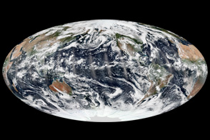
September 8, 2013, was an unusual day in an unusual season for tropical cyclones.
Published Sep 15, 2013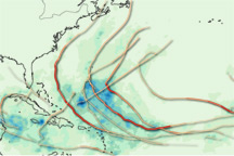
This map provides a summary of the very active 2010 Atlantic hurricane season, showing both the track each storm took and the rain it produced.
Published Dec 3, 2010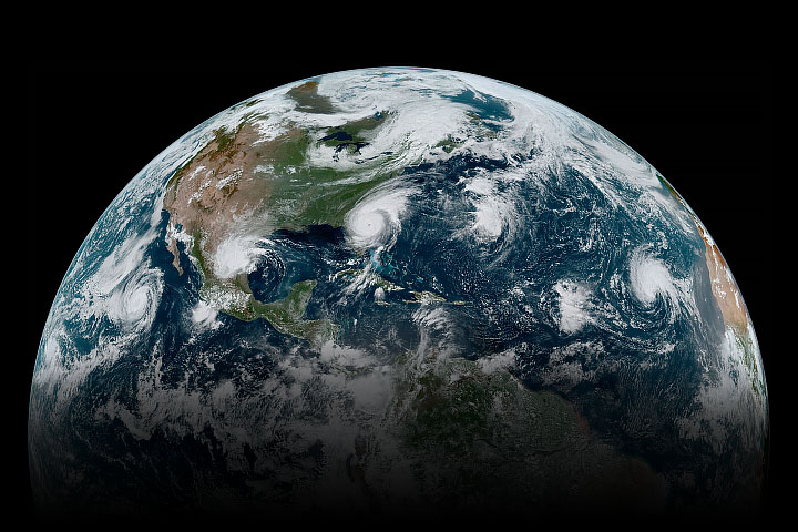
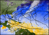
In early September 2019, a loose chain of tropical cyclones lined up across the Western Hemisphere.
Published Sep 4, 2019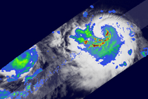
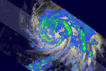
Spiraling patterns of heavy rain reveal that Felicia had a well-defined center of circulation on August 4, 2009.
Published Aug 5, 2009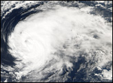
The 2005 Atlantic Hurricane season broke record after record: most named storms, lowest pressure measured in the Atlantic, longest-lived December hurricane, and the list goes on. This image provides a summary of the season, with the track of each named storm marked in black. In all, 30 tropical depressions, tropical storms, and hurricanes formed in 2005. Of these, 26 were named storms, a status given to tropical storms and hurricanes.
Published Dec 17, 2005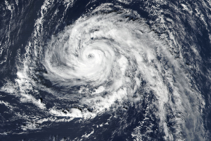
In the latest twist from an unusually potent Atlantic hurricane season, a tropical storm is now headed for the shores of Ireland.
Published Oct 14, 2017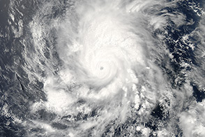
The first hurricane of the 2014 season churned over the Pacific Ocean southwest of Mexico in late May.
Published May 28, 2014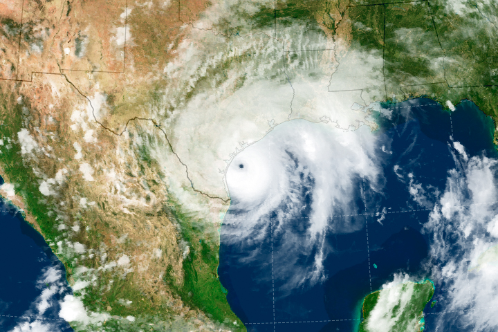
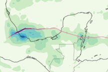
Storms in the North Atlantic are lingering longer near the coast, leading to significantly more rainfall.
Published Jun 6, 2019Image of the Day Atmosphere Water Floods Severe Storms Human Presence Remote Sensing
This color-coded map shows the rainfall and storm track associated with Hurricane Karl from September 14 to 18, 2010.
Published Sep 24, 2010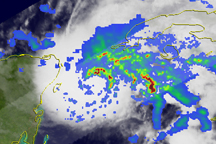
Bands of heavy rain circled the center of Hurricane Ida on November 8, when the storm was passing through the Yucatan Channel, but as the storm headed northward into the Gulf of Mexico on November 9, the rainfall bands became less organized.
Published Nov 9, 2009