
Differences in how international and national institutions classify forests can lead to large discrepancies in measurements of land cover.
Published Nov 17, 2015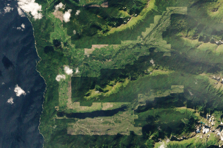
Brown bears abound on this Alaskan island, parts of which have seen both widespread clear-cutting and forest regrowth in recent decades.
Published Apr 24, 2020
By changing a percentage, institutions can take some forested lands off the map.
Published Dec 18, 2015
Forests in drylands are much more extensive than previously reported.
Published Aug 10, 2017
A three-dimensional view of an Alaskan forest is just one way scientists are tracking vegetation changes in the Tanana Valley.
Published Jul 27, 2016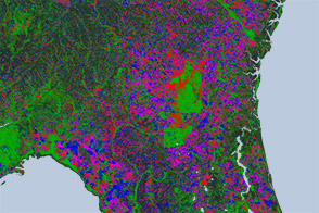
Open-access data from the NASA-USGS Landsat mission and cloud computing make for a highly detailed view of gains and losses in global and regional tree cover since 2000.
Published Nov 16, 2013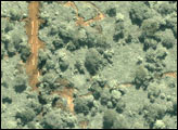
In recent decades, industrial logging has intensified in the dense tropical forests of central Africa, but few data sets exist that can help ecologists and policymakers monitor the occurrence and impact of logging over wide areas in that part of the world.
Published Jul 5, 2007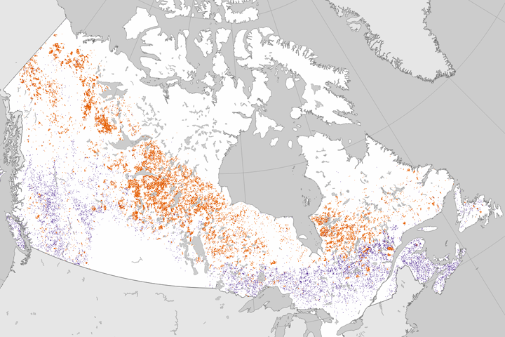
Researchers analyzed 25 years of Landsat data to establish where forests had burned or been cut.
Published Jun 27, 2017
The opening of the Landsat data archive and a partnership with Google has allowed researchers to track the fine details of forest change around the world.
Published May 7, 2015
Since the mid-1200s, the state has controlled Niepołomice Forest, which contains some of the last pockets of old-growth forest in Poland.
Published Nov 29, 2013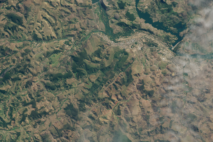
A twenty-year effort to plant millions of trees in Minas Gerais is visible to Landsat.
Published Jul 23, 2019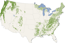
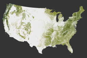
From the Pacific Northwest—home of the towering redwoods&mdash to the Southern Appalachians, this map shows forest canopy heights across the United States.
Published Jul 22, 2010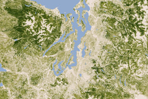
A new map of the biomass in the United States allows scientists and land managers to see tree cover down to the scale of individual plots of land.
Published Feb 17, 2012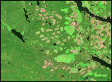
In British Columbia’s Coast Mountains, some 200 kilometers (125 miles) inland from the Pacific Ocean, rivers and lakes cut tortuous paths through rugged terrain. The peaks and valleys in this region are covered with forest, but the forest has changed over the years due to human use and insect pests, in particular, the mountain pine beetle.
Published Oct 12, 2008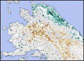
The National Biomass and Carbon Dataset reveals the location and the carbon storage of forests in the United States.
Published Jan 11, 2012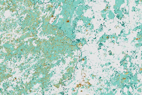
Political change in Eastern Europe and Russia has left its mark on forests in the region.
Published Jul 16, 2015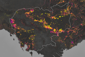
Forests are being turned into rubber plantations, farmland, and timber at a rapid rate.
Published Jan 10, 2017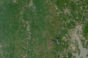
Dry weather in the Northeast has triggered an explosion in the populations of gypsy moth caterpillars, which are voracious eaters of forest canopies.
Published Jul 15, 2016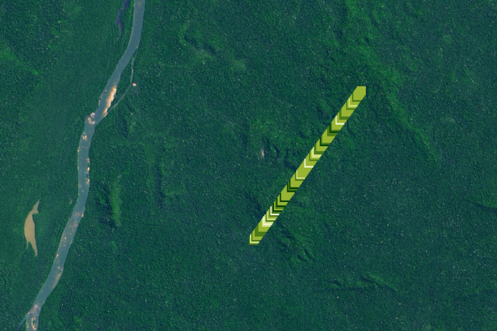
The amount of carbon that is being stored by trees and how it has changed over time is the least understood aspect of the global carbon cycle.
Published Jan 27, 2020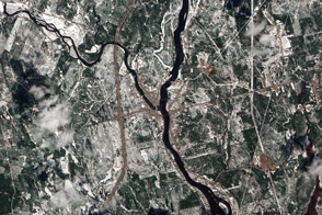
A patchwork of evergreen and deciduous forest has been a boon to research, outdoor recreation, and logging.
Published Feb 10, 2013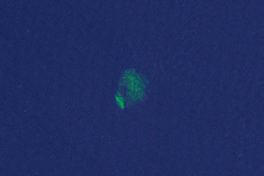
Researchers have turned to citizen scientists to help detect previously unknown or recently disrupted kelp forests in satellite imagery.
Published Jan 13, 2015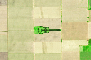
A labor of love in the Argentine Pampas becomes a work of art for the planet.
Published Apr 27, 2014