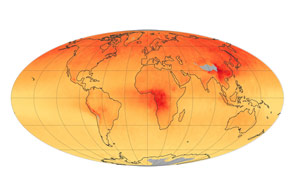
NASA’s Orbiting Carbon Observatory-2 has compiled its first year of data and started quantifying the cycles of emission and absorption of the greenhouse gas.
Published Dec 12, 2015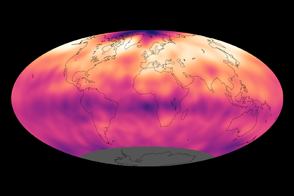
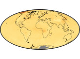
Atmospheric carbon dioxide concentrations reached record levels in 2013.
Published Sep 27, 2013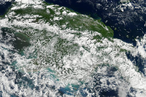
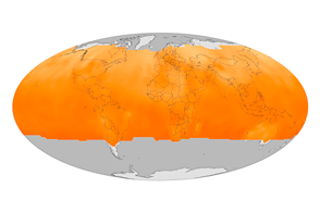
The Orbiting Carbon Observatory-2 will help scientists quantify the levels of carbon dioxide in the atmosphere.
Published Aug 12, 2014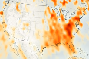
Measurements from OCO-2 will provide a baseline for monitoring changes in emissions.
Published Nov 17, 2016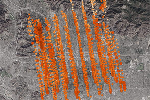
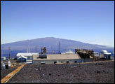
NASA’s new Orbiting Carbon Observatory-2 calibrated its sensors by taking data from an area where ground stations could provide ground truth.
Published Nov 7, 2014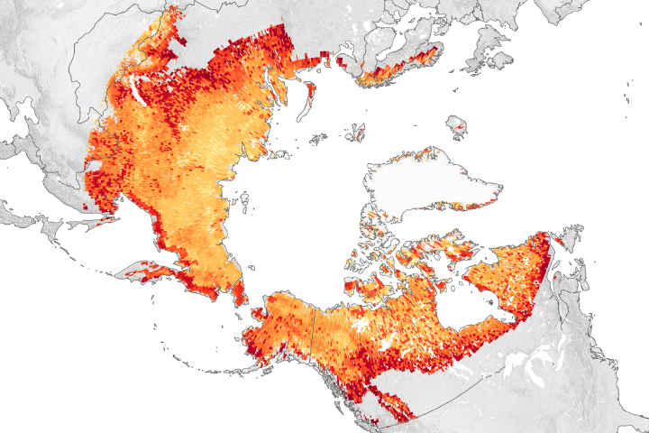
As global and regional warming continues, winter emissions of carbon dioxide from Arctic lands are offsetting what plants absorb in the summer.
Published Nov 19, 2019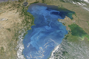
Satellites observe a massive bloom of coccolithophore plankton in July 2012.
Published Jul 31, 2012
By providing a measurement of all of the carbon being stored in Earth’s plants, maps like these help scientists figure out what happens to the carbon people release by burning fossil fuels.
Published Jul 8, 2011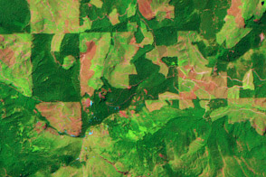
This pair of images show patterns of forest clearing and regrowth in Wasghington state over 26 years. Such images help scientists understand how human decisions impact the carbon cycle and Earth’s climate.
Published Jul 5, 2011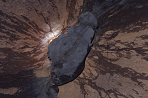
This satellite image of the summit of Mauna Loa overlaid with contour lines helps illustrate why volcanic emissions from the summit rarely reach the observatory where atmospheric carbon dioxide is measured.
Published Mar 19, 2010
Concentrations of the gas, which is produced by burning carbon-based fuels, have decreased since 2000.
Published Jun 2, 2015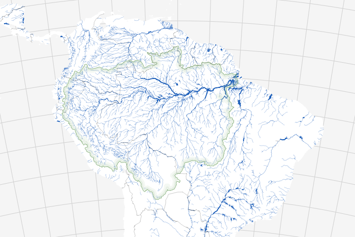
Long overlooked, it is increasingly clear that streams and rivers play a key role in the carbon cycle.
Published Jul 20, 2018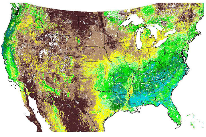
This map of plant photosynthesis was the first of its kind from the MODIS instrument, which was launched in December 1999 on the Terra spacecraft.
Published Jun 5, 2000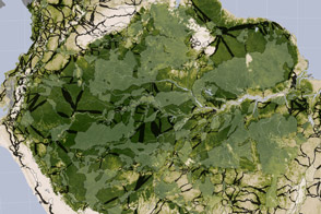
Researchers studying tropical forests have mapped out a way to preserve significant amounts of carbon-rich vegetation and biodiversity by connecting existing protected areas.
Published Apr 2, 2014
NASA aerial campaigns monitor the gases leaking from Alaskan permafrost for signs of change.
Published Apr 12, 2016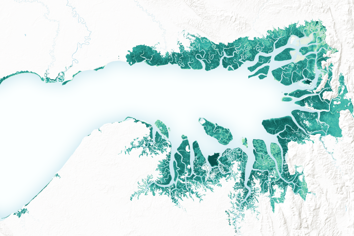
Mangrove forests are among the planet’s best carbon scrubbers.
Published Feb 27, 2019