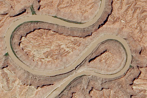
A double oxbow etched into the Colorado Plateau in Canyonlands National Park likely got its shape from an ancestral river.
Published Jun 18, 2014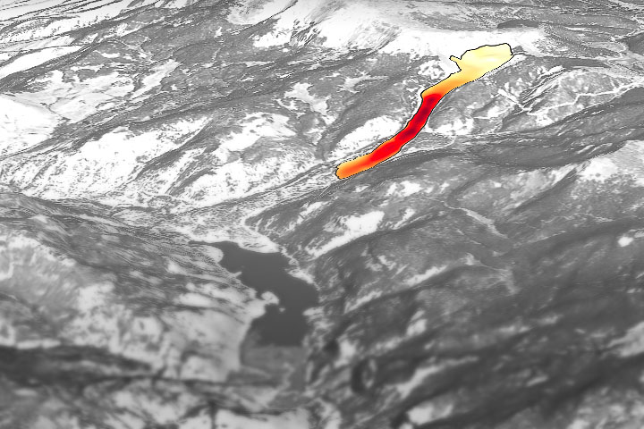
Through the study of an unusual, long-lasting slide, has developed a new technique to make prediction easier and more accurate.
Published Jun 5, 2020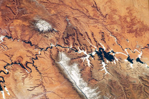
Striking landforms and broad vistas mark the Utah-Arizona border region of the Colorado Plateau.
Published Mar 25, 2013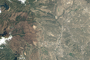
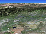
Development on the edge of the wilderness is increasing the risk of destructive wildfires in Colorado.
Published Nov 8, 2013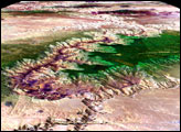
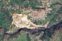
A pale tan scar in this natural-color image from March 14, 2010, marks the location of a landslide outside the southern Italian town of Maierato.
Published Mar 17, 2010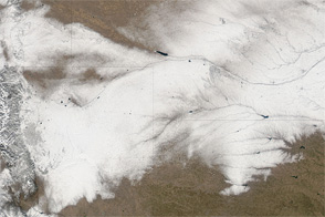
Snow makes a wide track across Colorado, Wyoming, Nebraska, and Kansas in early February 2012.
Published Feb 7, 2012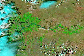
Widespread flooding is evident along the South Platte River and its tributaries.
Published Sep 17, 2013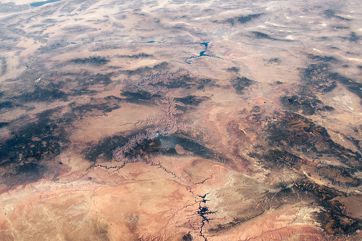
Ancient geologic features and modern creations share the spotlight in this photo of southeastern Utah and northern Arizona taken from the ISS.
Published Feb 23, 2020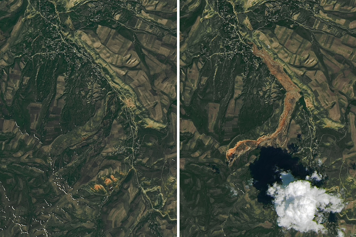
Debris spread more than 3 kilometers (2 miles) from the source to the toe of the landslide.
Published May 22, 2017

A major storm dropped snow throughout most of Colorado on January 19, 2006.
Published Jan 25, 2006
Warm and dry springtime conditions in the U.S. Southwest set the stage for a wildfire that doubled in size over the course of a weekend.
Published Jun 12, 2018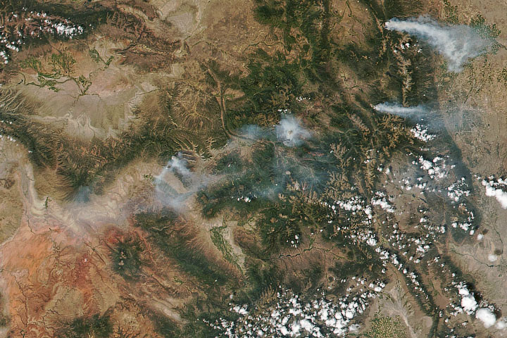
The fires have burned more than 125,000 acres and are expected to burn for several more weeks.
Published Aug 17, 2020