Smoke billows from the Wallow Fire in this natural color image taken on June 8, 2011.
Published Jun 9, 2011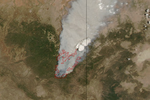
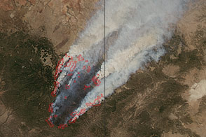
Dense smoke billows from a massive wildfire—the Wallow Fire—in eastern Arizona in this photo-like image from June 4, 2011.
Published Jun 6, 2011
This image from June 9, 2011, shows Arizona’s Wallow Fire in the White Mountains near the border with New Mexico.
Published Jun 10, 2011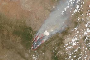
This pair of images shows the vast extent of the Wallow Fire, burning in eastern Arizona, on June 6, 2011.
Published Jun 6, 2011
The blaze is the largest in Arizona this year and the largest in the United States right now.
Published Jun 16, 2020Image of the Day Heat Land Fires Human Presence Remote Sensing
A wildfire north of Phoenix threatened the historic mining community of Crown King.
Published May 17, 2012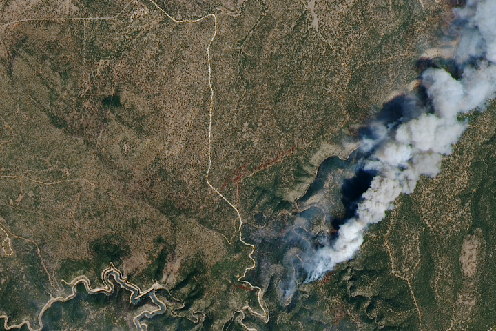
Measuring the height of a smoke plume is key to determining how far it might travel.
Published May 5, 2018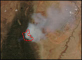
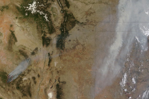
Acquired June 7, 2011, this natural-color image shows the Wallow Fire burning in Arizona, and smoke hovering over Kansas.
Published Jun 8, 2011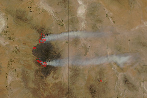
Arizona’s Horseshoe Two Fire burns along two fronts in this image from June 14, 2011.
Published Jun 15, 2011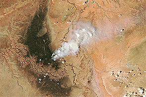
Fire charred forests along the North Rim of the Grand Canyon in July 2016.
Published Jul 20, 2016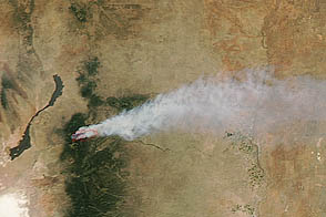
Smoke from the fire spread out in an interesting pattern over northern Texas.
Published Jun 11, 2012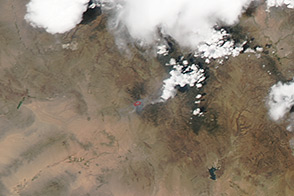
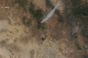
The Aqua satellite captured this view of the Yarnell Hill fire on July 1, 2013.
Published Jul 2, 2013