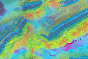
A combo of infrared and visible wavelengths exposes the mineral geology around China’s Piqiang Fault.
Published Apr 17, 2014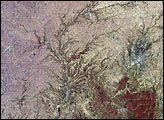
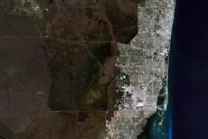
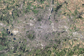
The variety of landscapes in southeastern Florida and the northern Everglades illustrates why you might want to see the world in false color.
Published Apr 1, 2014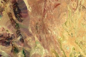
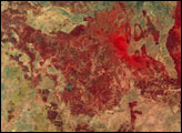
False-color satellite imagery offers insight that goes beyond what the human eye can see.
Published Mar 6, 2016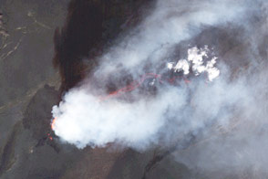
Satellites continue to capture spectacular views of the ongoing eruption near Bardarbunga.
Published Sep 16, 2014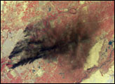
While a typical digital camera takes one picture of a scene based on information from the visible spectrum, Landsat generates multiple views of everything it images.
Published Aug 1, 2012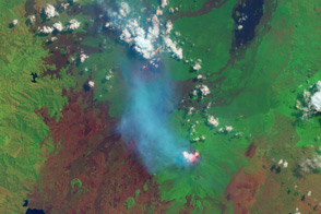
These African volcanoes are among the most active on Earth.
Published Aug 1, 2013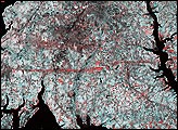
This pair of images from the Multi-angle Imaging Spectroradiometer (MISR) shows the strip of flattened and possibly denuded vegetation left by the F4 tornado (winds from 207 to 260 miles per hour, causing “devastating damage”) that struck La Plata, Maryland on April 28, 2002.
Published May 8, 2002
Lava lakes and gas plumes near Goma, Democratic Republic of the Congo.
Published Jul 2, 2014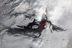
Infrared light reveals details of the evolving lava flows on Russia’s Tolbachik Volcano.
Published Feb 19, 2013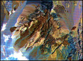
These images of the Saline Valley area, California, were acquired March 30, 2000, by the Advanced Spaceborne Thermal Emission and Reflection Radiometer (ASTER).
Published Sep 8, 2000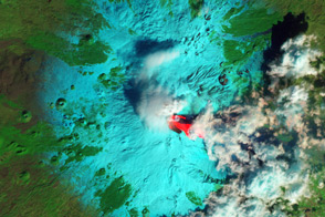
After maintaining a low simmer for 10 months, Italy’s Etna Volcano boiled over in early February, with three outbursts in 36 hours.
Published Feb 22, 2013