
In the past few centuries, a river in northwestern Canada stopped wandering and assumed a more direct route to the sea.
Published Sep 4, 2012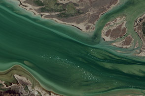
North America’s largest northward flowing river gets its start at Great Slave Lake in Canada’s Northwest Territories.
Published Nov 28, 2015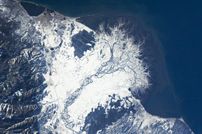
The Selenga River Delta, which stretches out into Russia’s Lake Baikal, is carved by an intricate network of channels and levees and surrounded by marshlands.
Published Nov 28, 2011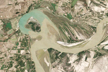
Between 1992 and 2009, a section of the lower Indus River changes course following the formation of an oxbow lake.
Published May 9, 2010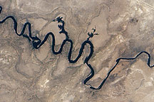
In September 2010, water again flowed through this riverbed after several dry years.
Published Oct 8, 2010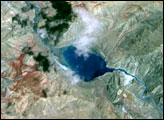
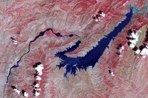
This false-color image shows the central part of the Vakhsh River, including the Nurek Dam and reservoir.
Published Nov 25, 2008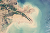
Chinese engineers changed the main channel through the delta, changing the shape of the land at the river’s mouth.
Published Jan 27, 2010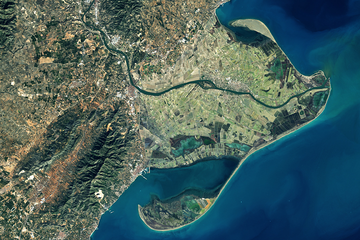
Spain's Ebro Delta has recently experienced tremendous shape-shifting.
Published Mar 13, 2018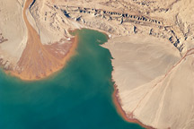
This astronaut photograph highlights two river deltas along the southwestern shoreline of Lake Ayakum, near the northern boundary of the Tibetan Plateau.
Published May 9, 2011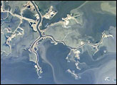
This astronaut photograph highlights a portion of the Saskatchewan River delta extending into Cedar Lake in the province of Manitoba, Canada. The Saskatchewan River watershed extends from the Rocky Mountains of Alberta through the plains of Saskatchewan and Manitoba to the east. Flooding of the Cedar Lake basin following the construction of the Grand Rapids Dam (to the southeast, not shown) in the 1960s created shallow, muddy lakes and bogs (dark green and blue irregular areas).
Published Oct 29, 2007