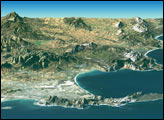
Warm and cool ocean currents collide near South Africa’s Cape Agulhas and Cape of Good Hope.
Published Jan 27, 2017
Originally named the Cape of Storms, it was later renamed to Good Hope in order to attract more people to the Cape Sea Route.
Published Aug 18, 2019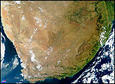
This photo-like image of South Africa on April 12, 2010, shows the rugged cliffs of the continent-spanning Great Escarpment.
Published Apr 24, 2010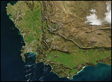
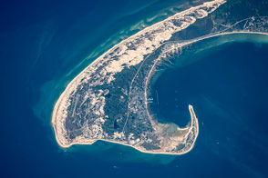
Winds and wave refraction give the area around Provincetown a distinctive hook shape.
Published Aug 31, 2015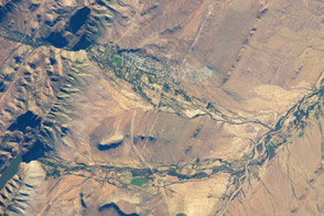
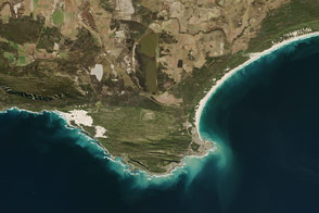
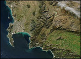
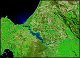
This small town at the foot of the Swartberg Mountains is a productive oasis in the Karoo semidesert, rich with olive groves, sheep and ostrich ranches, and (lately) tourists.
Published Feb 20, 2014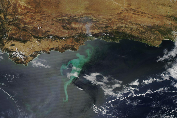
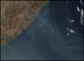
Large phytoplankton blooms tend to occur at intersections: between land and sea, between different ocean currents, and between seasons.
Published Nov 18, 2018
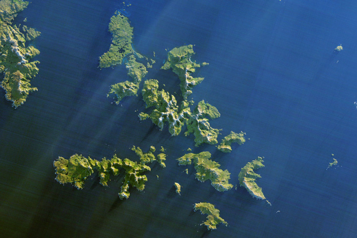
Ferocious winds and huge waves have long made it perilous to navigate around the southernmost tip of South America.
Published Dec 24, 2017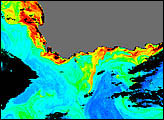
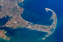
Cape Cod is a haven for rocks and people who have washed up on American shores.
Published Nov 21, 2010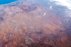
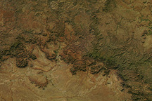
The Witwatersrand and Vredefort impact crater stand out in this diverse landscape.
Published Jan 4, 2016