Cooler weather helped firefighters control bushfires in New South Wales, but dozens of blazes were still active on October 24, 2013.
Published Oct 25, 2013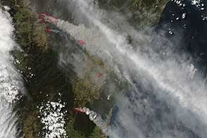
Dry conditions, heat, and gusty winds combined to make October 17 a very dangerous fire day in New South Wales, Australia.
Published Oct 18, 2013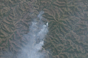
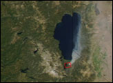
While the bushfire crisis that gripped New South Wales in mid-October 2013 has eased, some fires continue to burn in the Blue Mountains.
Published Nov 7, 2013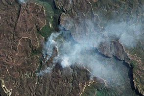
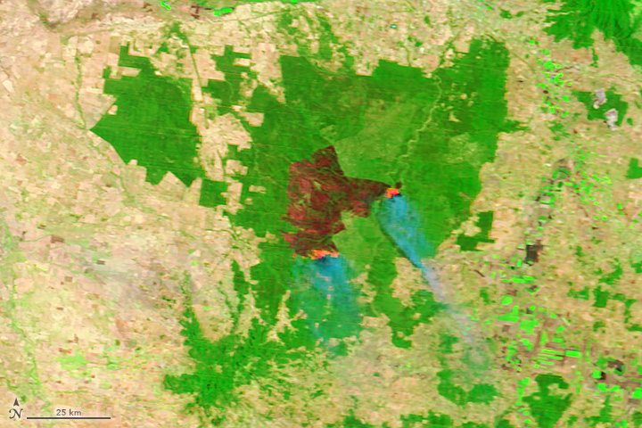
A rash of fires raged through Australia’s Blue Mountains in October 2013. The EO-1 satellite captured this view of a portion of the burn scar left by the State Mine fire.
Published Oct 29, 2013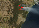
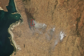
South Australia’s long-lived Bangor fire threatened four communities as it burned out of control on February 11 and 12.
Published Feb 11, 2014
The fast-moving King fire burned in Eldorado National Forest in September 2014.
Published Sep 18, 2014
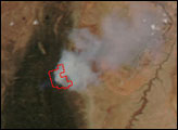
On May 2, 2013, the MODIS instrument on NASA’s Aqua satellite captured this view of wildfires burning near Lassen Volcanic National Park.
Published May 3, 2013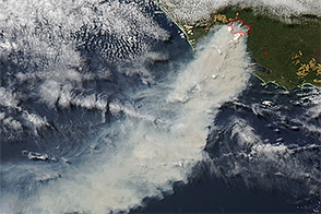
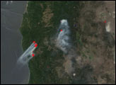
A vigorous bushfire threatened homes in Western Australia in February 2015.
Published Feb 2, 2015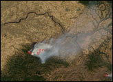
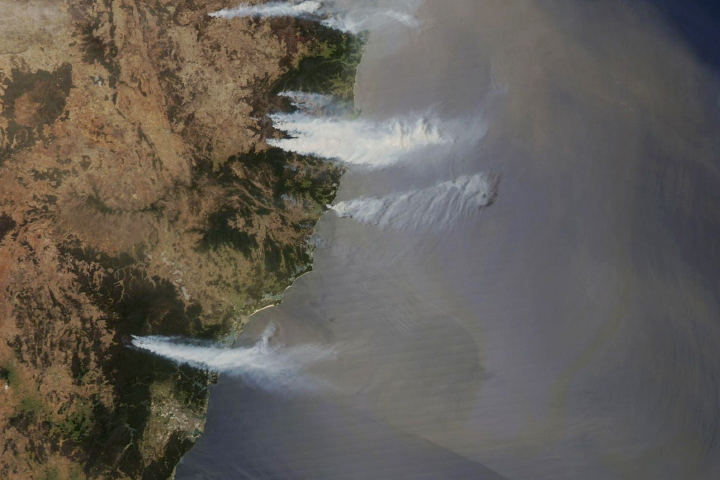
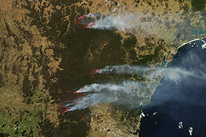
Smoke billowed from a string of bushfires lining the coast of the Australian state.
Published Nov 7, 2019
A wildfire burning in Los Padres National Park charred more than 500 acres—including the home of Big Sur’s fire chief.
Published Dec 17, 2013
This image from June 9, 2011, shows Arizona’s Wallow Fire in the White Mountains near the border with New Mexico.
Published Jun 10, 2011
The blaze is the largest in Arizona this year and the largest in the United States right now.
Published Jun 16, 2020Image of the Day Heat Land Fires Human Presence Remote Sensing
False-color images can reveal details that are typically invisible to the naked eye.
Published Jan 25, 2018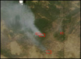

An expansive, destructive wildfire north of Los Angeles is visible from space by day and night.
Published Jun 28, 2016