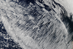
A striking display of high-altitude clouds over the Pacific Ocean are clearly cirrus, but further classification remains elusive.
Published May 29, 2015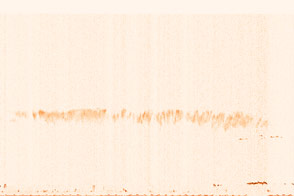
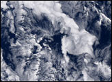
A vertical profile of wispy, icy clouds reveals their complex structure.
Published Jul 15, 2015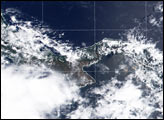

A composite view of the United States represents one of the ways scientists are exploring Landsat 8’s capabilities.
Published Feb 11, 2014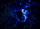
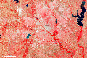
This image of the Dallas metro area was the very first image in the archives of the Landsat mission, launched in 1972.
Published Jul 23, 2012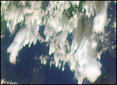
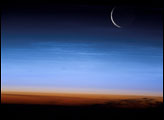
An astronaut on the ISS caught a glimpse of a sliver of the setting Moon and some clouds that shine at night.
Published Aug 10, 2003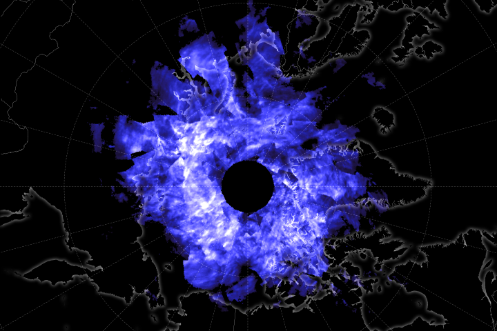
As spring turns to summer in the northern hemisphere, unusual streaks of clouds form high in the atmosphere around sunset.
Published Jun 27, 2019
50 trillion pixels of Landsat data give researchers a lot of opportunities to look at Earth processes on scales from days to decades.
Published Apr 16, 2015
When the Landsat archive is combined with modern computing power, scientists can view the planet not just across space, but also time.
Published Jun 11, 2013Image of the Day Land Unique Imagery Human Presence Remote Sensing
Cold winter conditions set the stage for these unusual clouds that can form due to airplane traffic.
Published Dec 28, 2010
LDCM extends an unprecedented four-decade record of global land observations.
Published Feb 12, 2013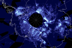
Noctilucent clouds float high enough in the atmosphere to capture a little bit of stray sunlight even after the Sun has set below them.
Published Dec 2, 2016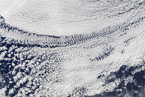
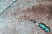
Whether a patch of clouds contains open or closed cells offers a clue about whether rain is falling below.
Published Feb 6, 2016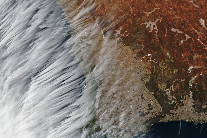
Transverse cirrus clouds may look benign, but they are often associated with intense weather.
Published Jun 19, 2019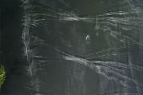
Moist air can cause contrails to spread and become sprawling cirrus clouds. Are there climate consequences?
Published Jun 2, 2012